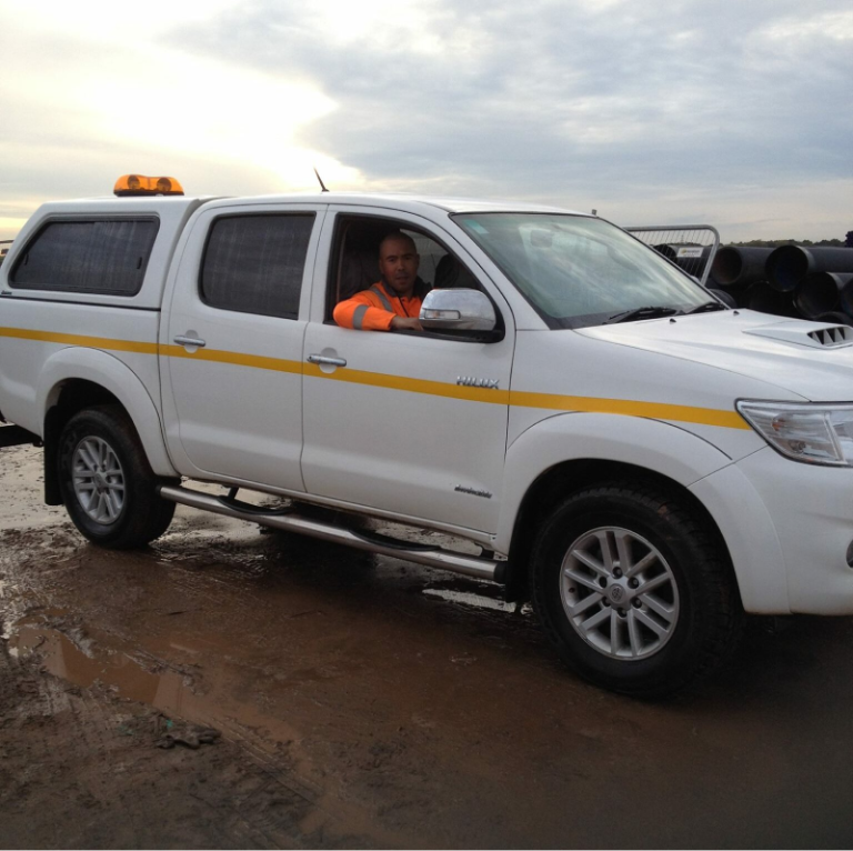
Professional Drone Survey Services & Roof Inspections
Topographic Surveys, LiDAR, Measured Building Surveys and Scan-to-BIM across the UK. Accurate, efficient and cost-effective solutions for construction, mapping and inspections.
Our Drone Survey - services
Our Drone Surveys – Quote
Drone survey prices start from £349 for roof inspections, £599 for topographic surveys, £1,199 for LiDAR and measured building surveys, and £1,499 for Scan to BIM. Select your service, outline your site on the map, and get a guide price in under 2 minutes.
Prices shown are guide estimates based on typical project requirements. Final proposals are confirmed after reviewing site access, deliverables, complexity and required accuracy. CAA licensed. £1M professional indemnity. £5M public liability.
Trusted by


Our Certifications and Memberships


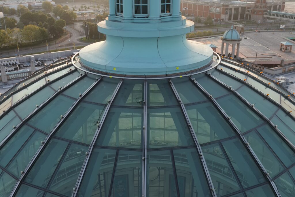
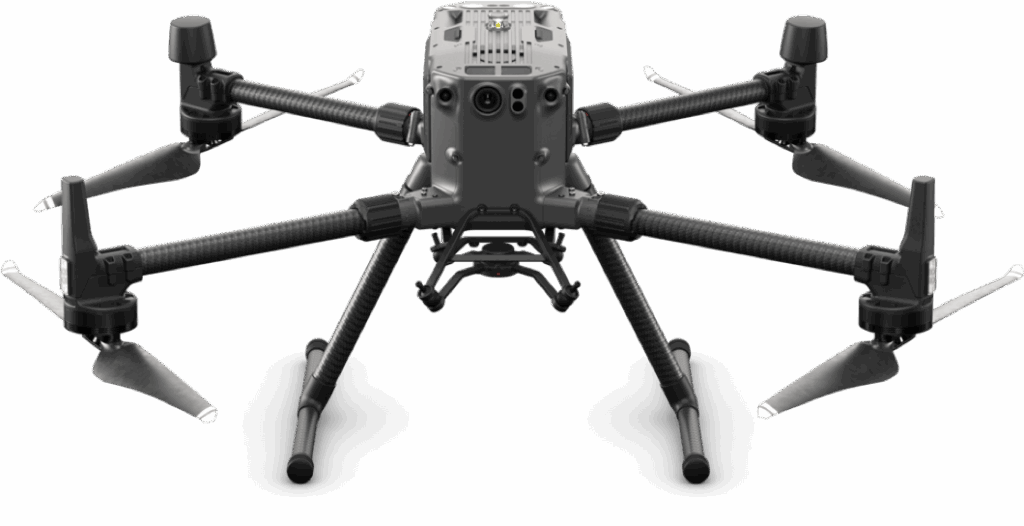
What Is A Drone Survey
How Drone Surveys Solve Key Challenges
- Seamlessly integrate with advanced surveying technologies for enhanced accuracy.
- Enable real-time data sharing and communication for faster decision-making.
- Rapidly map large areas with high precision, saving time and costs.
- Utilize drones of various sizes to accommodate projects of any scale.
Key Benefits of a Drone Survey
- Access Hard-to-Reach Areas – Safely survey difficult or hazardous locations.
- Enhance Safety – Minimize risks by reducing the need for manual inspections.
- Lower Costs – Cut expenses on traffic management and access equipment.
- Boost Efficiency – Capture high-quality data quickly with minimal disruption.
- Access Ageing Infrastructure – Monitor structural integrity with precision imaging.
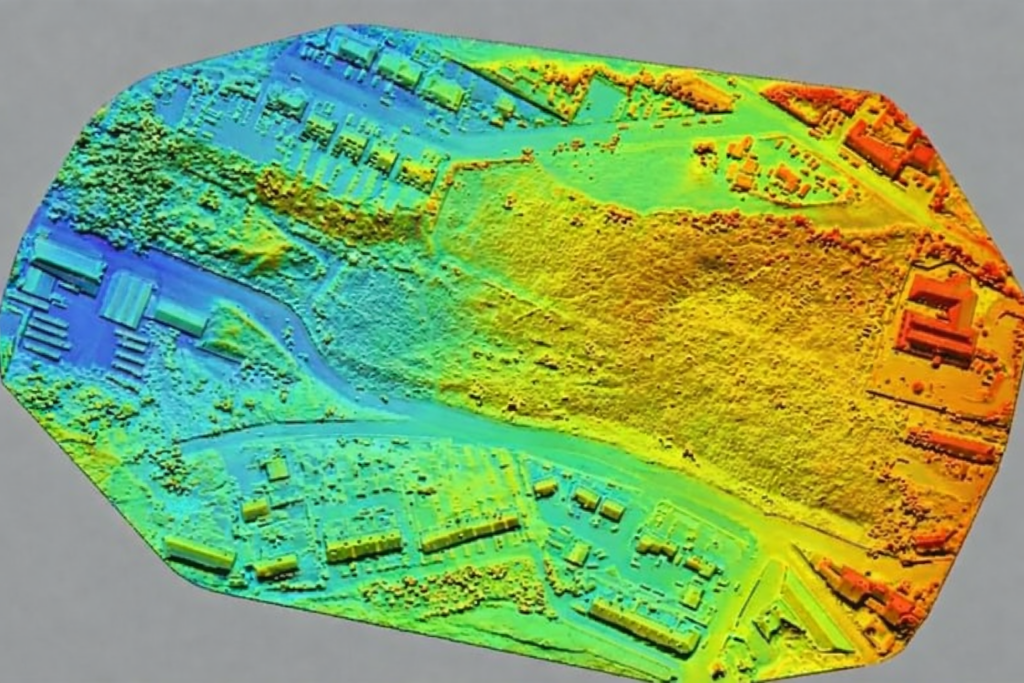
How Accurate is Drone Survey Data?
At SkyScan Surveys, our high-quality drone surveys deliver precise and reliable data, achieving accuracies of approximately ±20mm. This level of precision makes drone surveys an excellent choice for detailed mapping, construction planning, and structural inspections.
How Drone Surveys and Roof Inspections Elevate Success
Faster Data Collection with Advanced Drone Technology
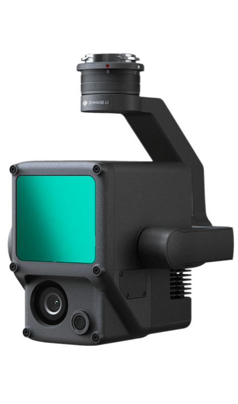
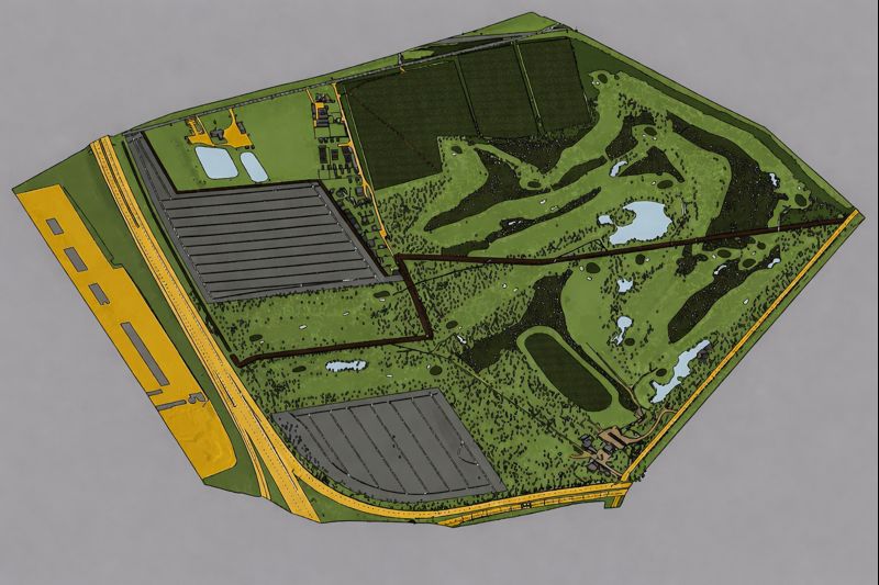
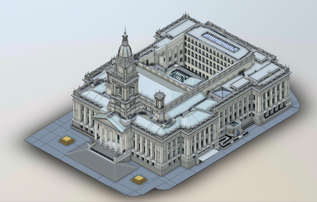
Our drones rapidly capture high-precision, geo-tagged data, significantly reducing survey times compared to traditional methods. Using cutting-edge photogrammetry and LiDAR technology, we ensure efficient data processing and deliver standardized outputs, including Point Clouds, DWG files, CAD models, Orthomosaics, 3D models, and more. This streamlined approach enhances accuracy, minimizes manual effort, and accelerates project timelines—making drone surveys an invaluable tool for construction, infrastructure, and land mapping projects.
Cost Efficiency with Drone Surveying
Drone surveying significantly reduces costs compared to traditional surveying methods. By minimizing the need for manual measurements, ground teams, and expensive equipment, drone surveys offer a more affordable alternative. Drones can cover large areas quickly and efficiently, requiring fewer resources and reducing the time spent on-site. This streamlined process not only cuts operational costs but also accelerates project timelines, making drone surveys an ideal solution for large-scale land surveys and other surveying needs.
High Precision and Accuracy with Drone Surveying
Our advanced drone technology, including RTK (Real-Time Kinematic), LiDAR, Ground Targets, and High-Resolution cameras, ensures exceptionally precise data collection. This high level of accuracy—ranging from 15mm to 50mm depending on the method used—is essential for detailed mapping, precise measurements, and in-depth analysis in surveying projects. Whether you're working on land surveys, construction planning, or infrastructure inspections, our drone surveys deliver the level of precision needed to make informed decisions and achieve optimal results.
Complete Cover on Drone Surveys & Roof Inspections
Get Started Today
We’re here to answer your questions and explore how our services can benefit your project. Don’t hesitate to reach out to us via phone, email, or through our social media channels.
Drone Survey and Inspection - Frequently Asked Questions
What is a Drone Survey?
Drone surveys use UAVs with high-resolution sensors (RGB, multispectral, LIDAR) to capture aerial data for mapping, land surveying, and more. They offer quick, accurate results, ideal for hard-to-reach areas.How much does a drone survey cost in the UK?
Costs vary: £699 for commercial roof inspections, £600 for construction site surveys, and £2000 for Drone Land Surveys (LiDAR). Prices can range depending on the type and complexity of the surveyAre drone surveys accurate?
Drone survey accuracy (how close measurements are to real-world values) varies depending on factors like drone type, camera quality, and flight height. Commercial drones achieve high accuracy (within 0.5cm – 2cm), while consumer drones may be less accurate (around 5m).Are drones good for roof inspections?
Yes, drones are highly effective for roof inspections, offering benefits such as cost efficiency, faster assessments, and improved safety. They provide detailed views of roofing systems and materials, aiding in the early detection of issues before they escalate.How much does drone mapping service cost?
Drone surveying costs vary depending on project size, but it’s generally more cost-effective than traditional methods. This is due to lower operational expenses associated with ground-based equipment.How can drone surveying services save me time and money?
Drones reduce the need for physical manpower and can complete surveys more quickly, saving both time and money