
- Home >
- About Us
About Sky Scan Surveys
Sky Scan Surveys provides topographic and measured building surveys, LiDAR data capture and scan-to-BIM services for construction, engineering and property projects across the UK. The company is led by Paul Daniel Harty, Director and Lead Remote Pilot.
Surveys are scoped around the decision the data has to support, and issued as CAD, model or point-cloud deliverables.
At a glance
Services
Coverage
Accountable for your survey
Phone
On this page
The person responsible for your survey
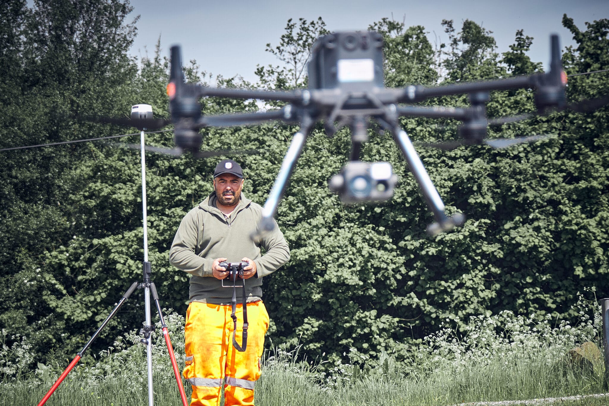
On site with a the drone and equipment
Sky Scan Surveys is led by Paul Harty, Director, whose background in safety-critical rail and infrastructure projects shapes the company’s practical, delivery-focused approach.
Paul has worked across the construction lifecycle, from planning and site works through to troubleshooting, survey delivery and handover. This gives Sky Scan Surveys a clear understanding that survey data is rarely just a drawing or point cloud. It is information clients rely on to design, plan, price, build, inspect and make informed decisions.
Transparency is central to how Sky Scan Surveys operates. We aim to identify constraints early, explain the survey method clearly, and help clients understand how the data will support the next stage of their project.
Experience
20+ years
Construction and engineering
4+ years
UAV survey operations
3+ years
LiDAR and geospatial delivery
Relevant project experience
Examples of LiDAR terrain modelling and construction survey work.
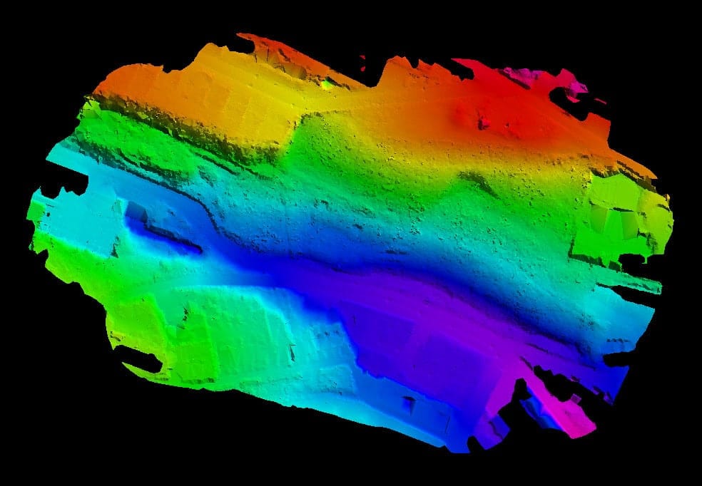
Benn Lane, Longden, Shropshire
Requirement
A wooded development site needing survey data to support an outline planning application, where tree cover obscured the ground.
Capture
Drone LiDAR, penetrating canopy to reach ground level across the site.
Issued
Bare-earth terrain model with tree positions and canopy on separate CAD layers, a simplified drawing for planning use, and PDF and boundary outputs.
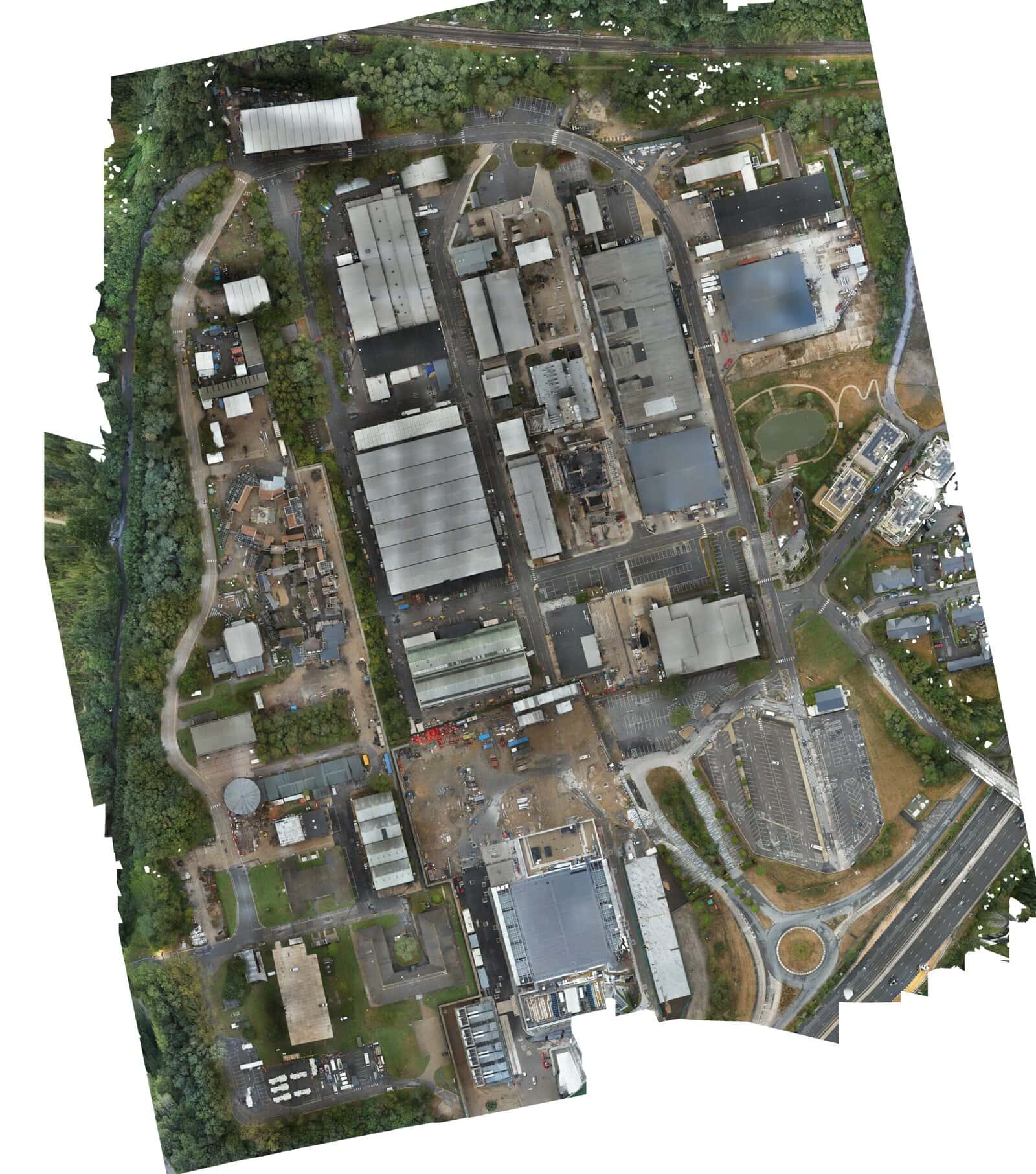
Longcross Studios, Surrey
Requirement
A contractor needed a topographic survey and a control network to set out construction works from.
Capture
Combined aerial and ground capture, tied to an established site control network.
Issued
A Civil 3D DWG containing contours, spot levels, feature codes and boundary information.
How we scope, deliver and check work
Scope, checking and communication are handled in a set sequence, so responsibility is clear on both sides before anyone mobilises.
01
Scope against the decision
We establish what the data has to support — drainage design, earthworks volumes, a BIM model, an as-built record — because that determines method, detail level, tolerances and control. You are not asked to invent technical answers at this stage.
02
Written scope and exclusions
We establish what the data has to support — drainage design, earthworks volumes, a BIM model, an as-built record — because that determines method, detail level, tolerances and control. You are not asked to invent technical answers at this stage.
03
Capture and control
Method selected to suit the site and the tolerance, on a stated coordinate system or an existing site grid or local TBM. Control is established and recorded so the survey can be re-occupied later.
04
Checking before issue
Data is checked against control and reviewed for completeness before it is issued. Survey deliverables state their accuracy, limitations and coordinate reference, and are version-controlled so revisions are tracked.
05
Changes and follow-up
If the site differs from the brief or the design moves, the change and its cost effect are confirmed in writing before extra work proceeds. Queries on an issued survey go straight back to the surveyor who captured it.
Qualifications, authorisations and insurance
Certificates, policy documents and authorisation details are provided on request for procurement and pre-qualification.
Insurance
- Public liability — £5m
- Professional indemnity — £1m
Policy period, insured entity and covered activities confirmed on request.
Competence and site cards
- GVC — drone operations
- SMSTS and CSCS — construction sites
- PTS — rail environments
- Safety Critical Medical
Held by our lead surveyor. Validity dates supplied with the certificates.
CAA operational authorisation
Drone survey work is carried out under a CAA operational authorisation. The certificate and its scope are supplied with pre-qualification documents.
Site-specific risk assessments and method statements are issued per project.
Coverage and how we operate
Where we work
- UK-wide coverage
- Construction sites, rail environments, industrial estates and rural sites
Mobilisation
- Travel and mobilisation priced within the quote
- Site access, permits and inductions confirmed before the visit
- Multi-visit and phased capture where the programme needs it
- Client CAD standards and layer conventions followed where supplied
Deliverable formats
- DWG and DXF CAD plans
- Revit (RVT) and IFC models
- LAS, LAZ, E57 and RCP point clouds
- Terrain models, contours and orthomosaics