

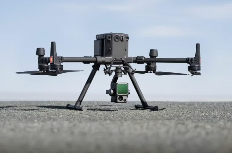
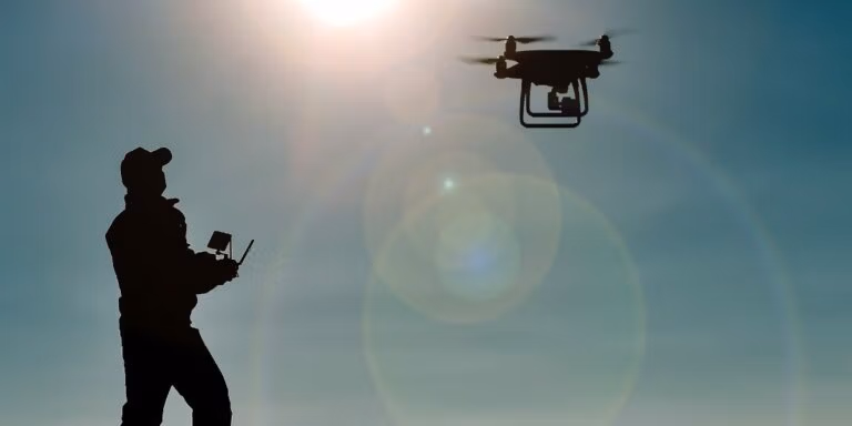
Welcome to the ultimate showdown: aerial drone surveys vs ground surveys. If you’re in the surveying business or just curious about the latest tech trends, you’ve probably wondered which method...
Imagine a world where checking the condition of your roof doesn’t involve ladders, scaffolding, or risking a fall. Enter the age of drone roof inspections—a technological marvel that’s transforming how...
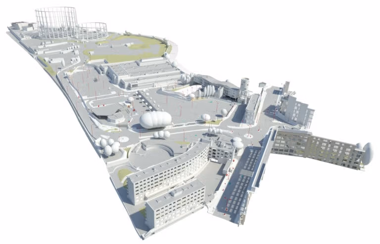
Welcome to our blog! Today, we delve into the fascinating realm of Scan-to-BIM, an innovative process revolutionising the architecture, engineering, and construction (AEC) industry. At its core, Scan-to-BIM...
Drone surveys have revolutionised data collection across industries, offering unparalleled efficiency, safety, and accuracy. But with this innovation comes the question: how much does a drone survey cost...
Imagine you’re tasked with mapping a vast area of land for a Building Information Modelling (BIM) project. Traditionally, this meant a team of surveyors meticulously trekking across the terrain,...

Drones are quietly revolutionising the world of data collection and mapping, with one of their most impressive feats being the ability to generate detailed 3D models through drone photogrammetry. This...
Topographical surveys are critical for civil engineering projects, but they can pose huge challenges. By harnessing the power of technology, drone mapping can eliminate the issues associated with traditional...

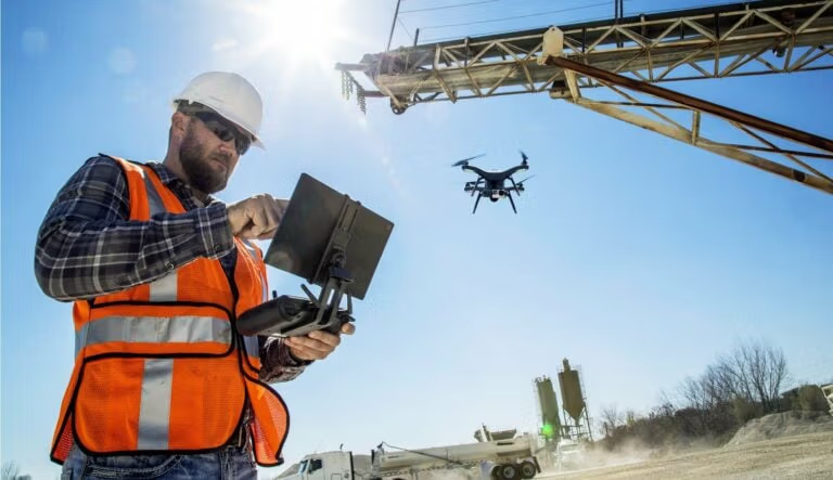
Balancing budgets, schedules, and quality – a constant symphony for quantity surveyors. Traditionally, this symphony demanded frequent, time-consuming site visits. But the innovative age has introduced...
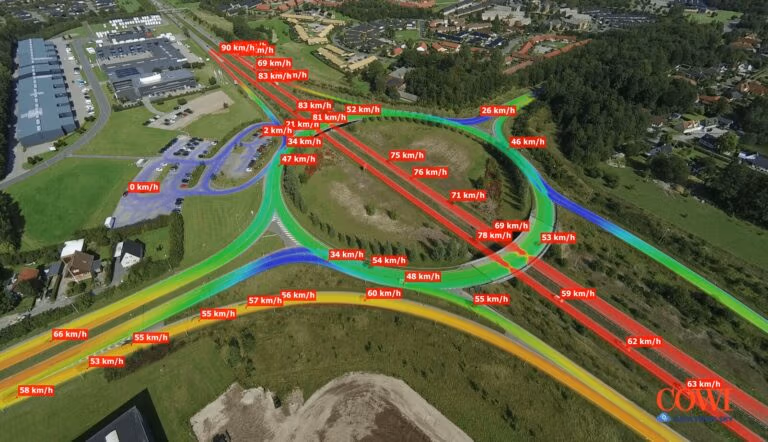
Traffic congestion. It’s a daily frustration for millions of commuters across the UK. But what if we could gather data to understand traffic flow better and make informed decisions to improve it?...