Imagine you’re tasked with mapping a vast area of land for a Building Information Modelling (BIM) project. Traditionally, this meant a team of surveyors meticulously trekking across the terrain, taking measurements and logging data. While effective, this ground-based approach can be slow and labour-intensive.
Thankfully, technology has revolutionised land surveying for BIM purposes. Enter drone surveys – a faster, safer, and often more cost-effective alternative. But with both options on the table, how do you choose the right method to capture the data you need for your BIM project?
Understanding Your Project Needs
Before diving into specifics, consider these key factors when it comes to Building Information Modelling (BIM) and data acquisition:
- Project Size and Complexity: Drones excel at tackling large or intricate projects quickly, making them ideal for capturing expansive land areas needed for BIM.
- Terrain Accessibility: Steep slopes or hazardous environments pose challenges for ground crews, but drones can navigate them with ease, ensuring comprehensive data collection for your BIM model.
- Data Specificity: Highly precise measurements of specific features might necessitate traditional ground surveys for pinpoint accuracy in BIM.
- Ground Surveys: The Cornerstone (with a Few Cracks)
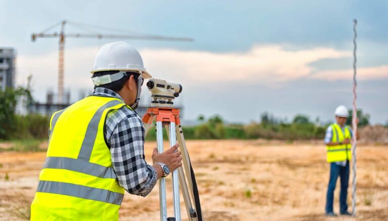
For centuries, ground surveys have been the trusted method for land surveying used in BIM projects. Let’s explore their strengths and weaknesses:
Strengths
- Unmatched Accuracy: Traditional surveys deliver highly precise measurements, ideal for small, intricate areas requiring pinpoint data for BIM.
- Detailed Data Collection: Surveyors can gather in-depth information on specific features like underground utilities or minor elevation changes, crucial for creating a comprehensive BIM model.
- Direct Observation: Ground crews can make real-time observations of unforeseen obstacles or terrain changes, allowing for adjustments during data collection for BIM.
Weaknesses
- Time-Consuming: Ground surveys can be exceptionally slow, impacting project timelines for BIM development.
- Labour-Intensive: This method requires a significant workforce, driving up project costs for BIM creation.
- Accessibility Limitations: Difficult terrain or dense vegetation can significantly hinder ground crews, potentially limiting the data captured for BIM.
- Drone Surveys: Taking Flight with Advantages for BIM
Drone technology has transformed land surveying for BIM purposes by offering a faster, safer, and more cost-effective alternative. Here’s a breakdown of the benefits:
Strengths
- Speed and Efficiency: Drones can cover vast areas in a fraction of the time required for ground surveys, significantly accelerating BIM project timelines.
- Cost-Effectiveness: Compared to traditional methods, drone surveys significantly reduce labour costs and offer quicker project turnaround times for BIM development.
- Unmatched Accessibility: Drones can navigate challenging terrains and capture data from hazardous environments inaccessible to ground crews, ensuring comprehensive data for your BIM model.
- Comprehensive Data Acquisition: Drones can capture high-resolution imagery and LiDAR data to create detailed 3D models for BIM, providing a valuable foundation for your project.
Weaknesses
- Weather Dependence: Wind, rain, or low visibility can limit drone operation, impacting scheduling flexibility for BIM data acquisition.
- Regulatory Landscape: Drone flights are subject to specific regulations in the UK, requiring proper licensing and permits for BIM surveying.
- Data Limitations: While exceptional, drone-captured data may not achieve the same level of pinpoint accuracy as some ground-based methods for highly precise measurement requirements in BIM.
- Finding the Perfect Balance: A Marriage of Methods for BIM
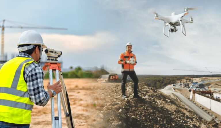
The best approach for BIM projects often lies in a strategic combination of both methods:
- Leverage drone surveys for initial data acquisition across large areas, providing a solid foundation for your BIM model.
- Follow up with targeted ground surveys for highly precise measurements on specific features, ensuring the accuracy of your BIM data.
- Choosing the Right Partner for BIM Projects
- Regardless of the method you choose, consulting with a qualified and experienced surveying professional is crucial for BIM projects. They can assess your project’s specific needs, recommend the most suitable approach to data acquisition for BIM, and ensure you receive accurate and cost-effective data.

Case Study: Taking Flight for Real with BIM
Imagine a vast leisure park needing a detailed 3D model for future development and improved management, a key element for BIM.
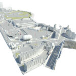
Traditionally, this would be a daunting task. But with the help of drone technology, a high-resolution 3D model of The Valley Leisure Park in Bolton, Greater Manchester was created for BIM purposes. A drone equipped with a high-resolution camera captured aerial images of the entire park. These images were then processed to create a detailed 3D model that can be used for various aspects of BIM, such as planning future developments, creating marketing materials, and managing park operations. This approach not only streamlined the data collection process but also provided comprehensive and precise information essential for effective BIM utilisation.
Conclusion:
Choosing between drone and ground surveys for your BIM project depends on several factors, including project size, terrain accessibility, and data specificity. By understanding the strengths and weaknesses of each method, and considering a combined approach, you can optimise your data acquisition process, ensuring your BIM project is both efficient and accurate. Consulting with experienced professionals will further enhance your decision-making, ultimately leading to a successful BIM implementation.

