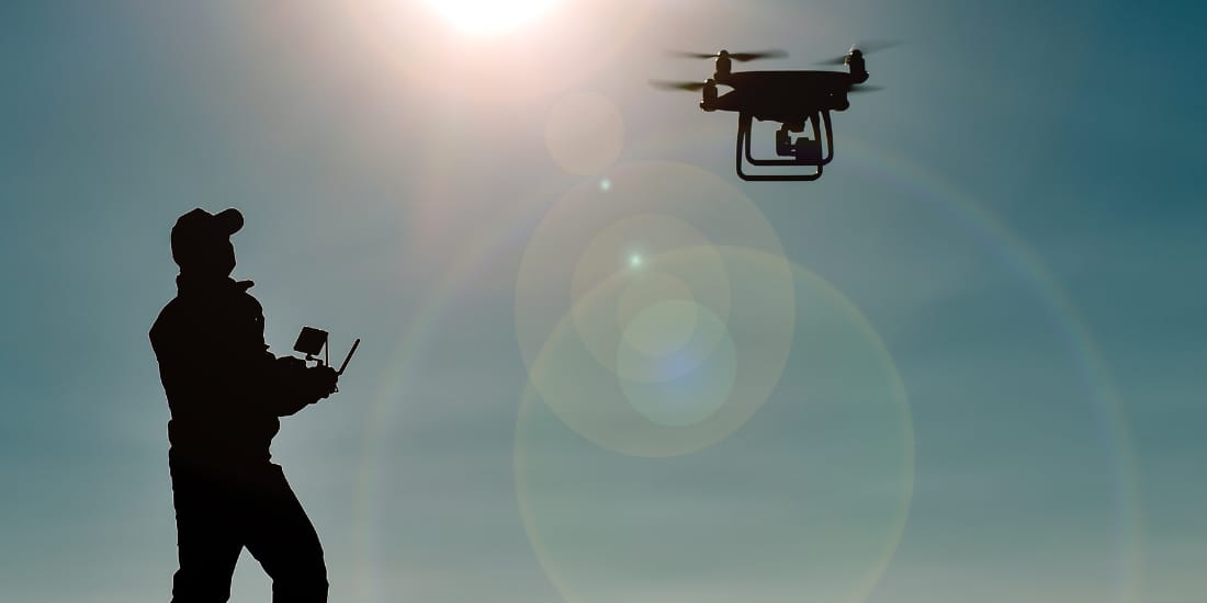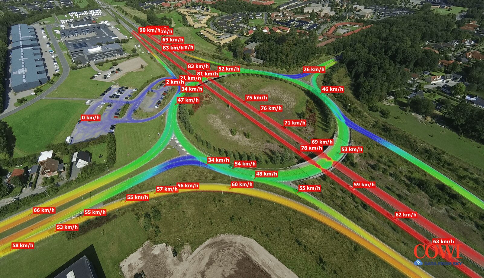
Stuck in Traffic? Revolutionise Traffic Management with Drone Surveys
Traffic congestion. It’s a daily frustration for millions of commuters across the UK. But what if we could gather data to understand traffic flow better and make informed decisions to…