Drone Land Survey UK – Accurate Topographic Mapping & Cost
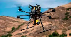
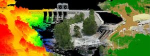
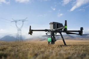
Introduction If you’re planning a construction project, land subdivision or boundary demarcation in the UK, an accurate drone land survey is essential. UAV based land surveys capture high resolution topographic