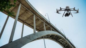
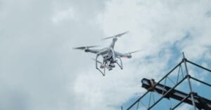
The Key Differences Between Drones, UAVs, and UAS: What You Need to Know
At Sky Scan Surveys, we frequently work with Unmanned Aerial Vehicles (UAVs) to offer innovative surveying and inspection services. However, the terminology surrounding drones UAVs and UAS can be confusing.