Introduction
If you’re planning a construction project, land subdivision or boundary demarcation in the UK, an accurate drone land survey is essential. UAV based land surveys capture high resolution topographic...
Introduction
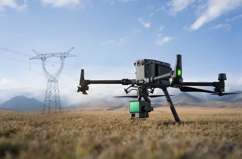
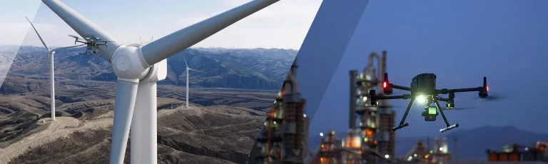
If you’re responsible for maintaining buildings, infrastructure or industrial assets, you know how critical it is to detect faults before they become major problems. Traditional inspection...

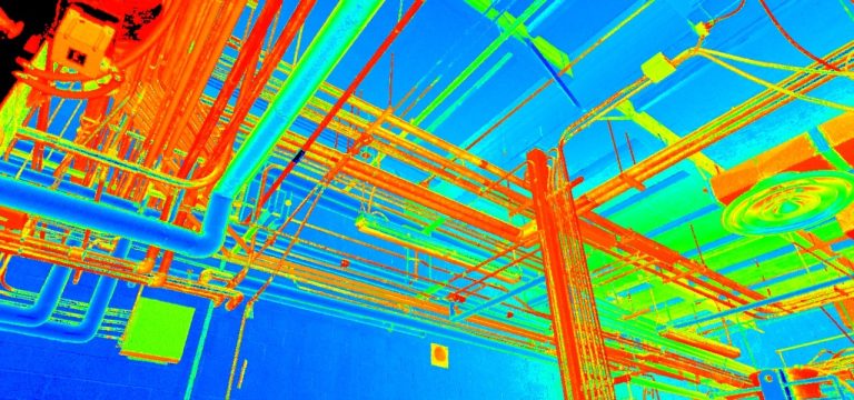
Drones are transforming how we capture accurate site data. From roof inspections to topographic mapping and building information modelling (BIM), a drone survey can deliver centimetre‑level detail quickly...

Accurate, up-to-date geospatial data is essential for modern construction, agriculture and urban planning. Traditional land surveys require teams of surveyors, bulky equipment and weeks of fieldwork. Drone...
Need a laser scanning or LiDAR quote?View our LiDAR Survey ServicesSee our Pricing
Navigating the costs associated with professional 3D laser scanning for buildings in the UK can seem complex. Unlike purchasing...
Need a fixed quote for your site?
View our Drone Survey Services
See our Pricing
Thinking of hiring a drone for a land survey, roof inspection, or construction mapping project? You’re not alone —...
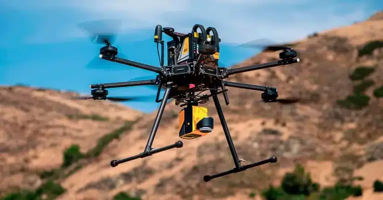
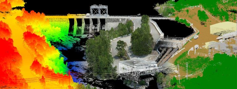
When you need accurate, fast, and efficient surveying, Sky Scan Surveys stands out as a trusted LiDAR drone survey company in the UK. Our cutting-edge LiDAR drone technology provides ultra-precise topographical...

Need a measured building survey quote?
View our Measured Building Survey Services
See our Pricing
A London architect recently saved an estimated £18,000 on a complex refurbishment project by investing...
For surveying professionals across the UK, the challenges of traditional methods are often all too familiar. Whether it’s the time-consuming nature of traversing complex terrain, the frustration...
Why Surveyors Are Turning to LiDAR Drones
As a professional in the surveying, engineering, or geospatial sector, you’ve likely faced at least one of the following issues:Struggling to access dense...