What is aerial mapping and drone surveys
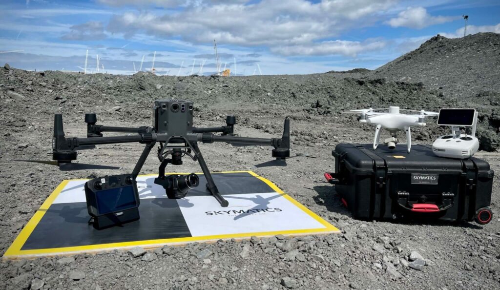
Drone surveys and aerial mapping make use of vehicles (UAVs) with sensors pointing downward such, as LIDAR payloads, RGB cameras or multispectral imaging systems to collect important data. When using an RGB camera on a drone survey the ground is photographed from angles. Each picture is accurately marked with coordinates. This information is then utilised […]
Drone Laws UK 2024: A Comprehensive Guide
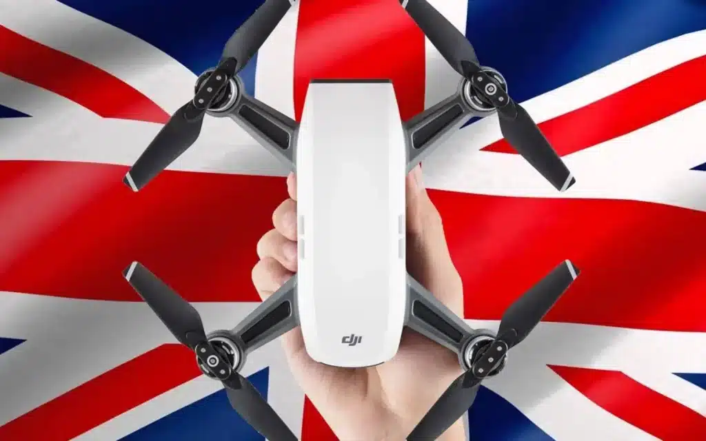
As drone usage continues to surge, understanding the latest drone laws in the UK is crucial for both recreational and commercial operators. The UK Civil Aviation Authority (CAA) has implemented a series of drone laws to ensure safe and responsible drone operations. This guide will break down the essential aspects of the drone laws in […]
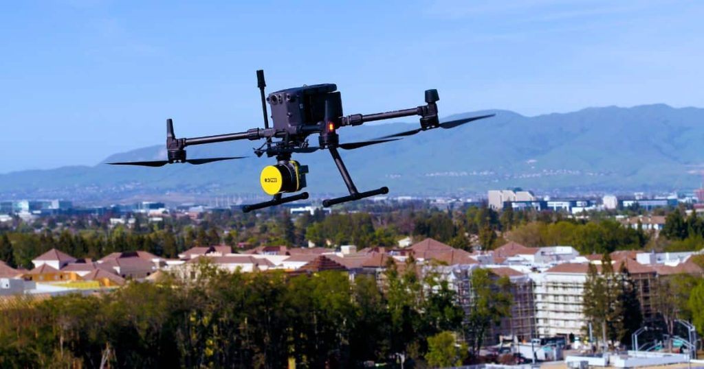
What is a Drone Survey?
A drone survey uses unmanned aerial vehicles (UAVs), or drones, equipped with downward-facing sensors like RGB cameras, multispectral cameras, and LIDAR systems to capture high-resolution aerial data. This method is essential for precise mapping, land surveys, environmental monitoring, construction planning, and other applications requiring detailed spatial analysis. The Technology Behind Drone Surveys RGB Cameras: These […]
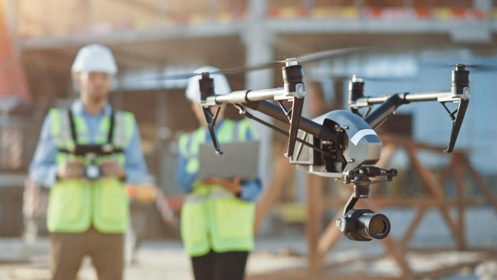
Taking Flight: How Drone Surveys Map Construction Progress Like a Pro

In today’s construction industry, efficiency and precision are paramount. Traditional methods of monitoring progress can be time-consuming, costly, and even dangerous. Enter drone surveys, a revolutionary technology transforming how we track construction progress across the UK. Why Drone Surveys are the Best Approach Unmatched Efficiency: Drones capture vast areas of a construction site in a […]
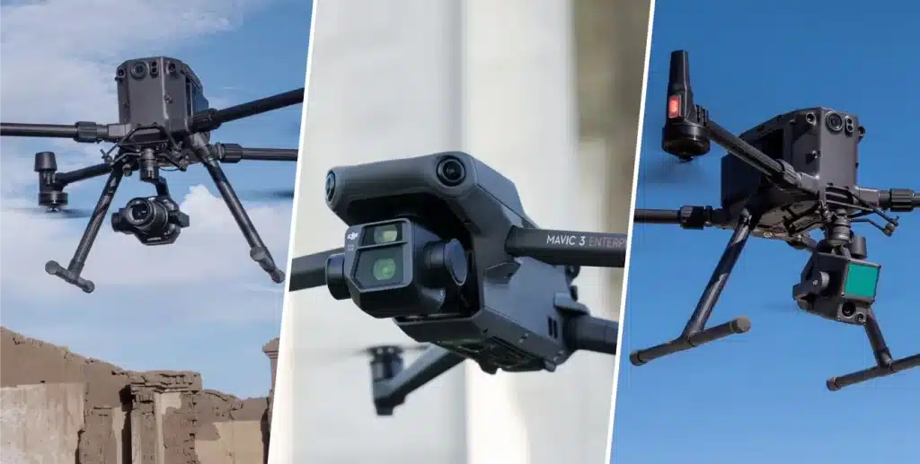
Unveiling the Hidden: LiDAR Drone Surveys for Precision in Any Industry
In today’s data-driven world, precision is king. Across industries, the ability to capture intricate details and translate them into actionable insights is paramount. Enter LiDAR drone surveys, a revolutionary technology poised to transform how we perceive and manage our environments. What is a LiDAR Drone Survey? Imagine a powerful tool that combines the agility of […]
Peace of Mind from Above: Warehouse Roof Surveys with Drones
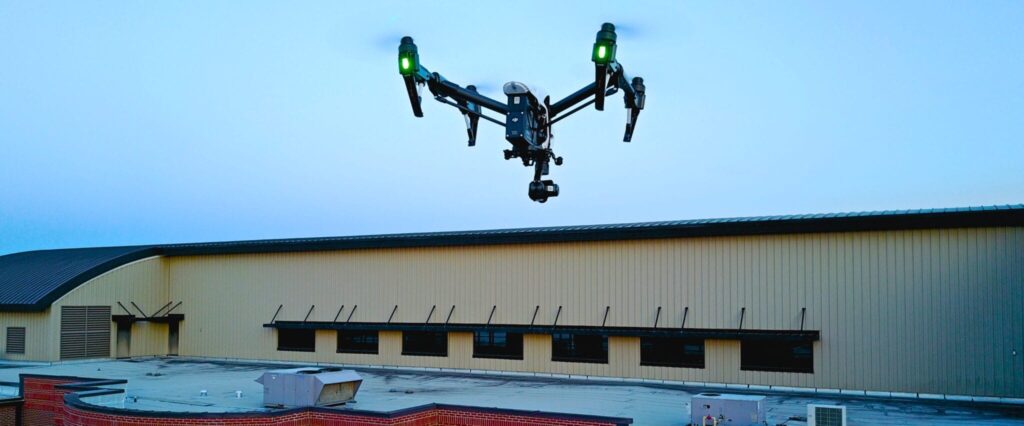
Ensuring your warehouse operates flawlessly hinges on keeping it in top condition. Regular warehouse roof surveys are a cornerstone of preventative maintenance, but traditional methods can be a burden. Time-consuming, risky, and often limited, they leave much to be desired. Thankfully, drone technology takes flight, revolutionizing warehouse roof surveys. Why Warehouse Roof Surveys are Essential […]
Zooming In: How Drone Surveys Enhance Warehouse Roof Inspections
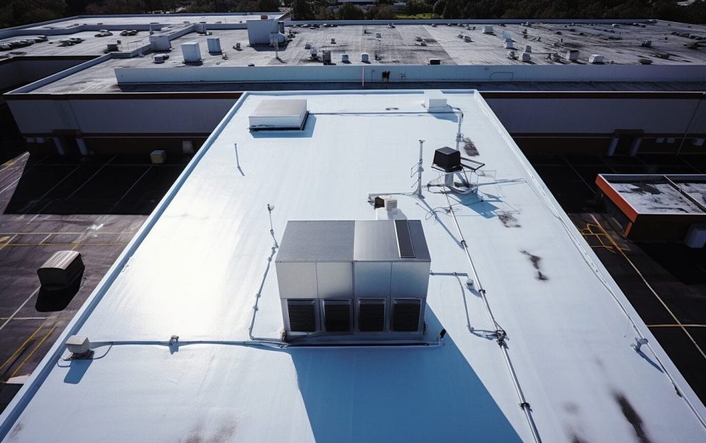
Maintaining a safe and functional warehouse is crucial for any business operation. Regular roof inspections are a vital part of preventative maintenance, but traditional methods can be time-consuming, risky, and limited in scope. This is where drone technology steps in, offering a revolutionary approach to warehouse roof inspections. Why Regular Warehouse Roof Inspections Matter Just […]
Unlock the Power of Drone Roof Inspections for Your Business
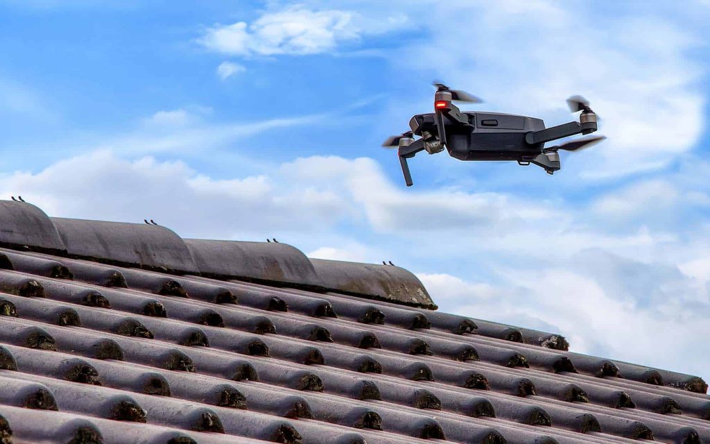
In the realm of home and property maintenance, roof inspections are paramount yet often neglected. Traditional roof inspections, while thorough, can be cumbersome, expensive, and occasionally perilous. With the advent of drone technology, roof inspections have undergone a significant transformation, offering enhanced efficiency, safety, and cost-effectiveness. Why You Need a Roof Inspection There are myriad […]
Drones in War: Transforming Modern Warfare

Introduction In recent years, the role of drones in warfare has evolved significantly, becoming a crucial element in modern military strategy. The ongoing conflicts, notably in Ukraine, have underscored the strategic importance of unmanned aerial systems (UAS). This blog post delves into the impact of drones on contemporary warfare, exploring their applications, advantages, and the […]
Aerial Drone Surveys vs Ground Surveys: Pros and Cons
Welcome to the ultimate showdown: aerial drone surveys vs ground surveys. If you’re in the surveying business or just curious about the latest tech trends, you’ve probably wondered which method is better. At Sky Scan Surveys, we specialize in aerial drone surveys, but we also recognize the value of traditional ground surveys. Let’s break down […]