Drone Roof Inspections: A Game Changer for Homeowners
Imagine a world where checking the condition of your roof doesn’t involve ladders, scaffolding, or risking a fall. Enter the age of drone roof inspections—a technological marvel that’s transforming how homeowners maintain their properties. At SkyScan Surveys, we harness the power of drones to deliver precise, safe, and efficient roof inspections. Let’s dive into why […]
Decoding Scan-to-BIM: Transforming Real Spaces into Digital Realities
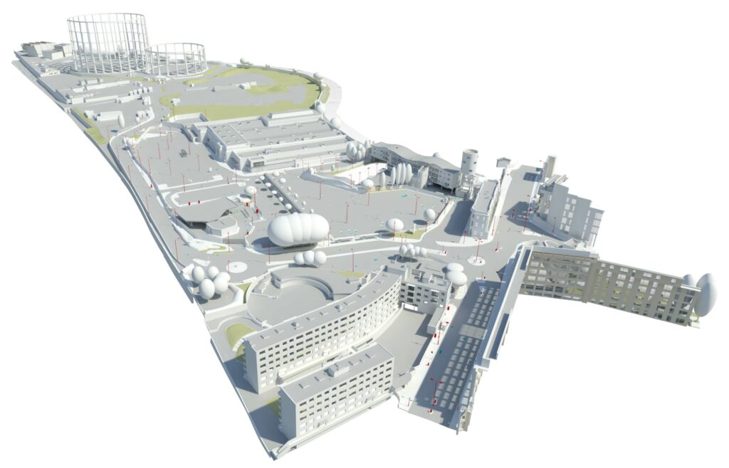
Welcome to our blog! Today, we delve into the fascinating realm of Scan-to-BIM, an innovative process revolutionising the architecture, engineering, and construction (AEC) industry. At its core, Scan-to-BIM embodies the seamless conversion of physical spaces into meticulously detailed digital models, leveraging cutting-edge technologies like 3D laser scanning and advanced software solutions. Join us as we […]
Unveiling Drone Survey Costs: From Rooftops to BIM Integration (UK Focus)
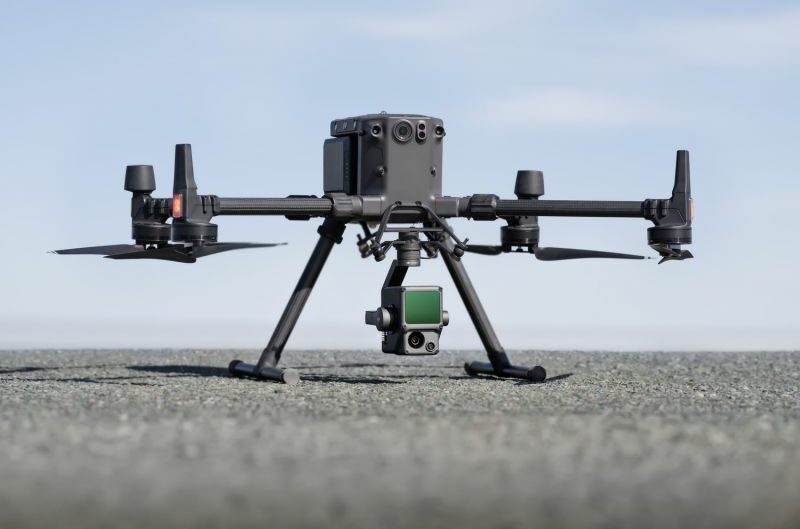
Drone surveys have revolutionised data collection across industries, offering unparalleled efficiency, safety, and accuracy. But with this innovation comes the question: how much does a drone survey cost in the UK? This blog post will delve into the factors influencing drone survey pricing here in the UK, explore common applications like roof inspections and BIM […]
Unveiling the Terrain: Drone Surveys vs. Ground Surveys – A Guide to Picking the Perfect Tool for BIM
Imagine you’re tasked with mapping a vast area of land for a Building Information Modelling (BIM) project. Traditionally, this meant a team of surveyors meticulously trekking across the terrain, taking measurements and logging data. While effective, this ground-based approach can be slow and labour-intensive. Thankfully, technology has revolutionised land surveying for BIM purposes. Enter drone […]
The Power of 3D Models in Drone Photogrammetry

Drones are quietly revolutionising the world of data collection and mapping, with one of their most impressive feats being the ability to generate detailed 3D models through drone photogrammetry. This process involves capturing multiple images of an area from various angles. Software then stitches these images together to create a realistic, three-dimensional representation – a […]
Stuck in Traffic? Revolutionise Traffic Management with Drone Surveys
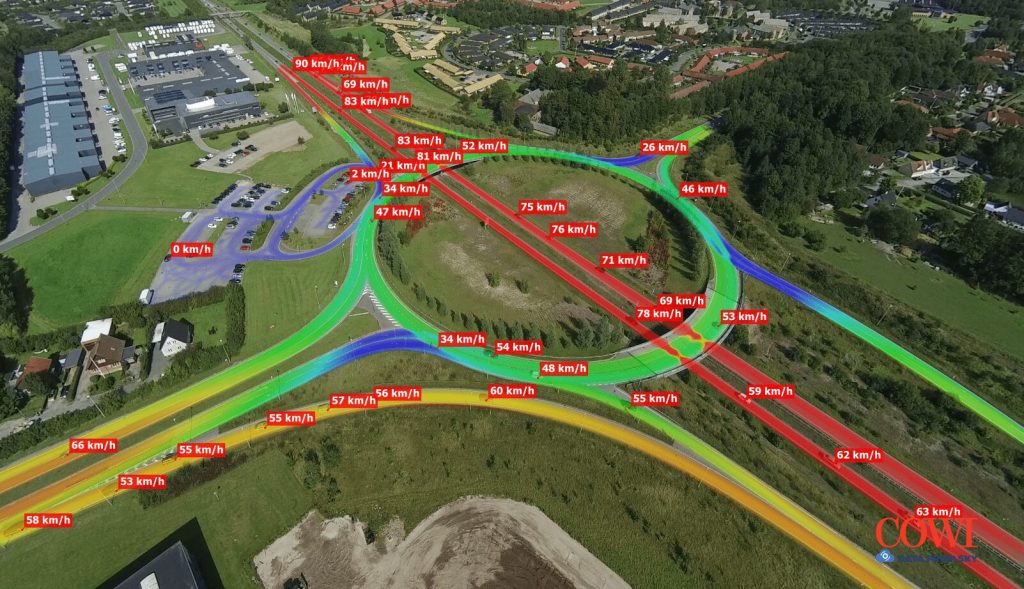
Traffic congestion. It’s a daily frustration for millions of commuters across the UK. But what if we could gather data to understand traffic flow better and make informed decisions to improve it? This is where drone traffic surveys come in. The Need for Accurate Traffic Data Transportation engineers rely on high-quality traffic survey data to […]
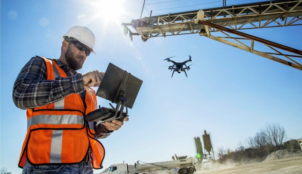
How Drones Revolutionise Construction Progress Monitoring for Quantity Surveyors
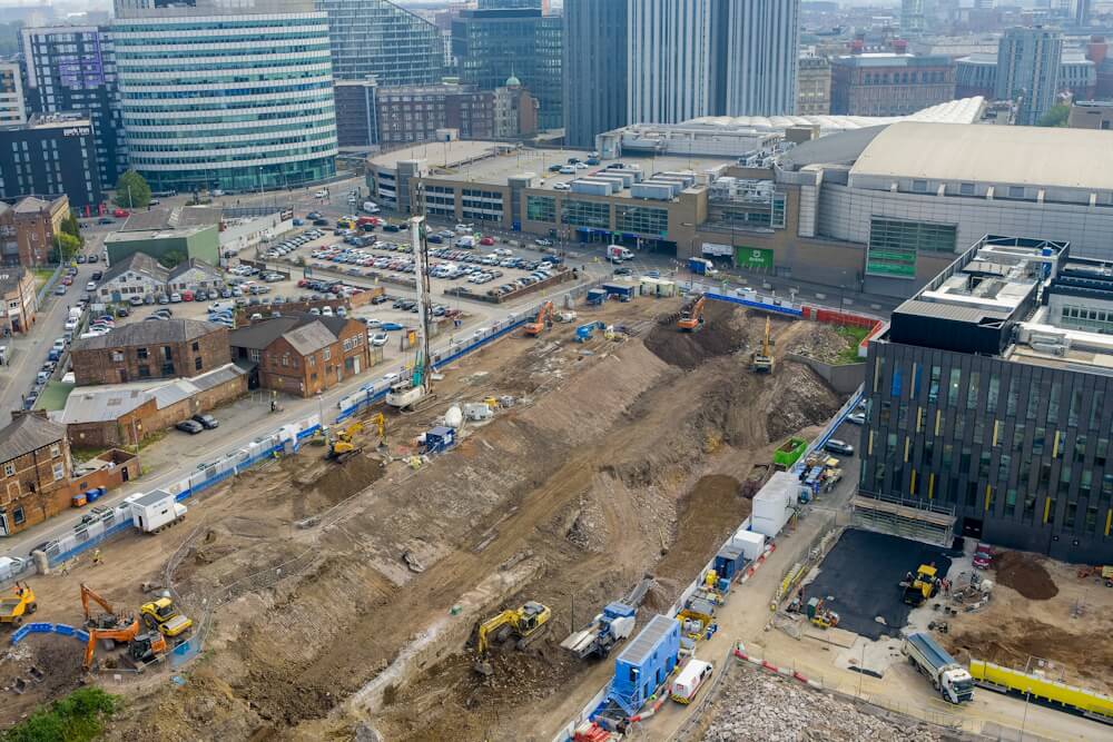
Balancing budgets, schedules, and quality – a constant symphony for quantity surveyors. Traditionally, this symphony demanded frequent, time-consuming site visits. But the innovative age has introduced a transformative conductor: Drones. Drone Progress Monitoring: Taking Flight with Precision Drones, equipped with high-resolution cameras and aerial prowess, are taking the construction industry by storm. Here’s why they’re […]
Transform Projects With A Drone Topographical Survey
Topographical surveys are critical for civil engineering projects, but they can pose huge challenges. By harnessing the power of technology, drone mapping can eliminate the issues associated with traditional topographic methods to produce efficient, precise and cost-effective topographical surveys that can transform building projects. Advances in drone surveying technology mean that inaccurate and costly topographical […]