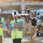
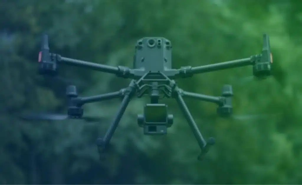
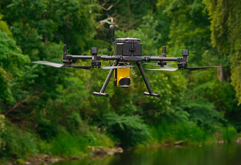
When you need accurate, fast, and efficient surveying, Sky Scan Surveys stands out as a trusted LiDAR drone survey company in the UK. Our cutting-edge LiDAR drone technology provides ultra-precise topographical mapping, 3D modelling, and actionable data, setting a new standard for surveying. Whether you’re in construction, agriculture, or environmental planning, our LiDAR surveys deliver the detailed information you need with speed and reliability.
Why Choose Sky Scan Surveys for LiDAR Drone Surveys in the UK?
Choosing Sky Scan Surveys means partnering with experts who understand the unique demands of your projects. Here’s why we’re the preferred choice for LiDAR drone surveys across the UK:
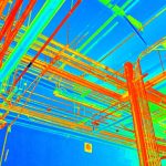
- High Precision with LiDAR Drone Technology: We use the latest LiDAR drones to capture millions of data points with exceptional accuracy, ensuring your projects benefit from highly detailed terrain analysis and decision-making.
- Rapid Data Collection Across the UK: Our fleet of advanced LiDAR drones can survey large areas in record time, reducing project timelines and costs compared to traditional methods.
- Penetrating Dense Vegetation: Our LiDAR drones can see through tree canopies and thick vegetation, providing precise ground data for forestry management, environmental studies, and other site analyses, even in challenging terrains across the UK.
- Cost-Effective Surveying Solutions: By minimising the need for manual surveys and speeding up data collection, we offer cost-efficient LiDAR drone surveying services for your UK-based projects.
- Access to Difficult-to-Reach Locations: Our LiDAR drones allow us to survey hazardous, remote, or hard-to-reach areas safely, ensuring thorough data collection without endangering personnel.
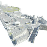
- Advanced 3D Modelling: With our LiDAR drone surveys, you gain access to detailed 3D point clouds, enabling the creation of Digital Terrain Models (DTMs), Digital Surface Models (DSMs), contour maps, and volumetric calculations.
Our LiDAR Drone Survey Services Across the UK:
Sky Scan Surveys offers a comprehensive range of LiDAR drone survey services tailored to meet the unique needs of UK industries:
- Topographical Surveys with LiDAR Drones: Achieve highly accurate terrain mapping for engineering, infrastructure, and land development projects, with data you can trust for your UK-based needs.
- Forestry and Vegetation Analysis: Leverage the power of LiDAR drones to assess tree height, biomass, canopy structure, and other vital metrics for sustainable forest management and planning across the UK.
- Environmental Surveys: From flood risk assessments to monitoring coastal erosion, our LiDAR drone surveys provide accurate data for environmental monitoring, wildlife habitat analysis, and more.
- Construction and Infrastructure Surveys: Streamline your construction projects with rapid site surveys, accurate volume calculations, and real-time progress monitoring, all from the precise data collected by our LiDAR drones.
- Non-Invasive Archaeological Surveys: Discover and map hidden archaeological sites beneath soil or vegetation, with minimal disruption to the environment, using advanced LiDAR drone technology.
- Volumetric Calculations: Our LiDAR drones offer quick and highly accurate volumetric assessments for stockpiles, quarries, and waste management sites across the UK.
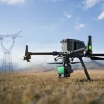
- Corridor Mapping for Linear Infrastructure: Efficiently survey linear infrastructure such as roads, railways, pipelines, and more, using our LiDAR drone technology to create detailed elevation profiles and pinpoint potential issues.
Why Sky Scan Surveys is the Right Choice for Your LiDAR Drone Survey Needs:
When you choose Sky Scan Surveys, you’re working with a team committed to delivering accurate and actionable data for your projects. Here’s what you can expect from us:
- CAA-Certified LiDAR Drone Operators: Our team consists of highly trained and certified drone pilots, ensuring the highest level of safety, compliance, and expertise in every survey.
- Cutting-Edge LiDAR Drone Technology: We invest in the latest LiDAR systems, so your project receives the most accurate and reliable data, backed by the power of the latest drone technology.
- Nationwide Survey Coverage: Whether your project is in a remote location or a bustling city, we provide LiDAR drone surveys across the entire UK, ensuring fast and efficient service delivery.
- Tailored Survey Solutions: Every project is unique, and we understand that. We work closely with you to customise our LiDAR drone survey services to meet your specific requirements and project objectives.
- Comprehensive Data Management: From capturing initial data to delivering comprehensive reports, including 3D models and point clouds, we manage the entire process seamlessly, offering a complete end-to-end solution.
- Commitment to Quality: We use rigorous quality assurance protocols and advanced data processing techniques, ensuring that every LiDAR survey we perform meets the highest standards of precision and reliability.
Get Started with LiDAR Drone Surveying Today!
If you’re ready to experience the speed, accuracy, and efficiency of LiDAR drone surveying, Sky Scan Surveys is here to help. Whether you’re in construction, agriculture, environmental monitoring, or another industry, our team is ready to provide you with the data you need to make informed decisions.
Contact us today for a no-obligation consultation and custom quote tailored to your UK project. You can also complete the form below to discuss your LiDAR drone survey requirements: