
Drone Surveys in Liverpool
At Sky Scan Surveys our drone surveys offer efficient and secure mapping land and buildings, in Liverpool and throughout the UK.
Utilising cutting-edge drone technology, we conduct surveys in construction, facility management, and environmental monitoring. Our cost-effective solutions provide insights into drone survey expenses. Our certified commercial drone pilots hold Remote Pilot Certificates and strictly adhere to CAA regulations during all surveys.
Trusted by


Our Certifications and Memberships
What problems can Drone Surveys Solve around Liverpool
ISSUE
ISSUE
CONCERN
CONCERN
SOLUTION
SOLUTION
How We Conduct Drone Surveys in Liverpool
INITIAL PRICING
Our process begins by examining the location on Google Earth to provide a cost estimate. This initial assessment helps us grasp the sites specifics and adequately plan for the survey.
RISK ASSESSMENTS AND OPERATIONAL PLANS
Before to commencing a Drone survey on site we develop risk assessments and operational plans to ensure that our activities are carried out safely and effectively.
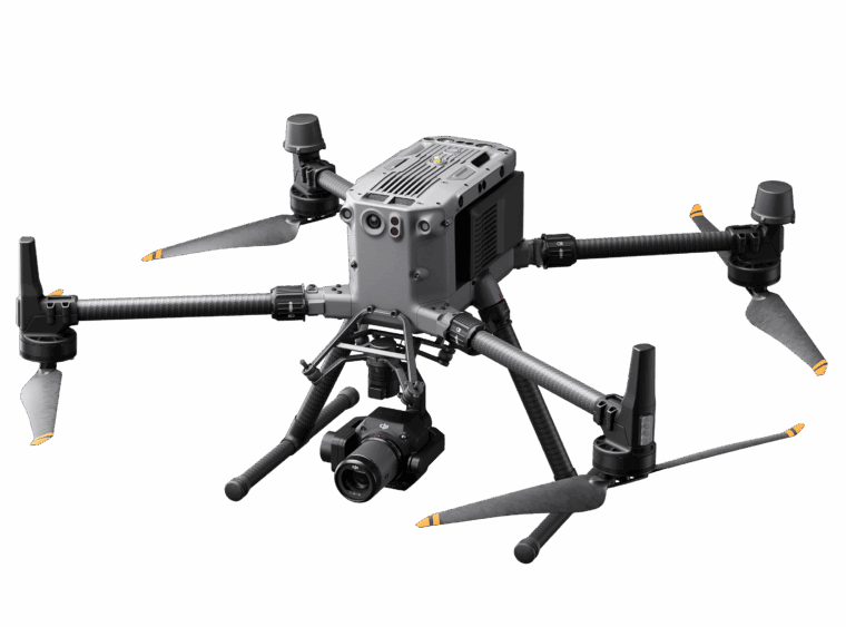
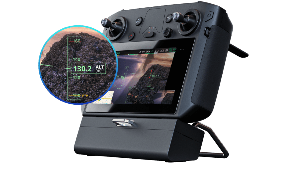
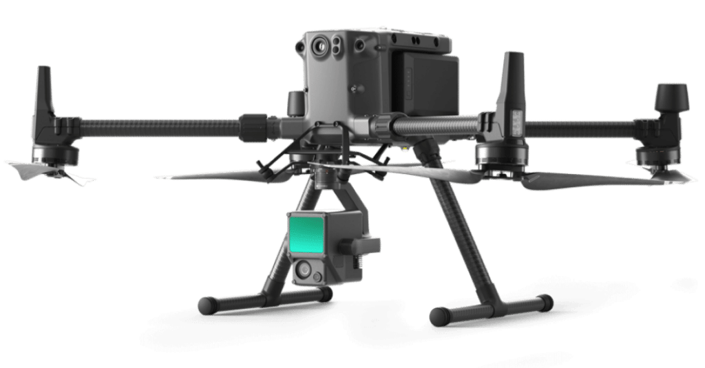
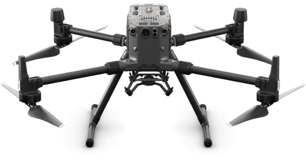
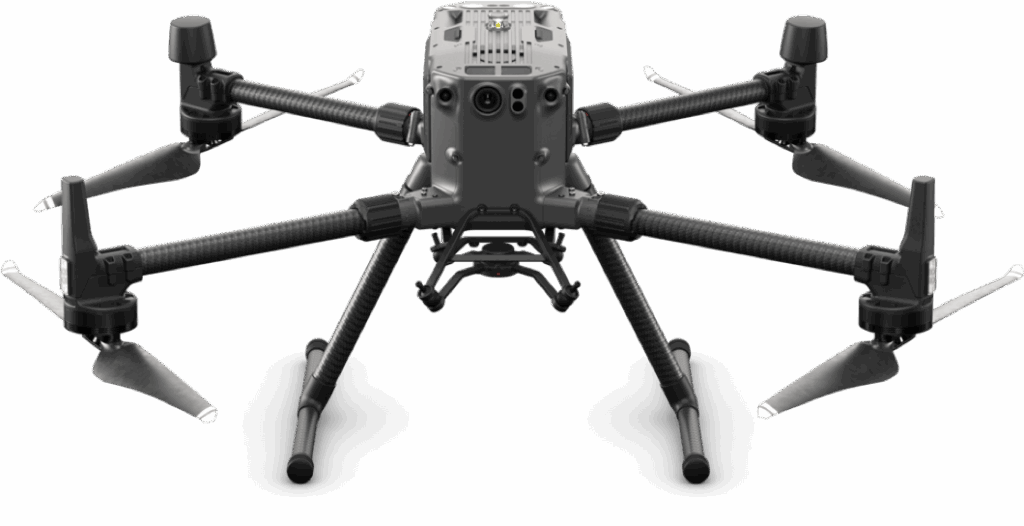
ON SITE SURVEY USING DJI M300
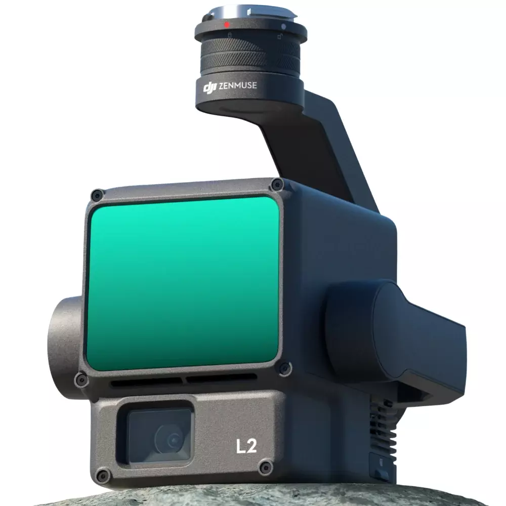
Upon arriving at the location, we deploy the DJI M300 drone equipped with survey-grade high-resolution cameras, LiDAR, or thermal sensors. This advanced technology allows us to capture detailed imagery, point cloud data, and thermal information of the area.
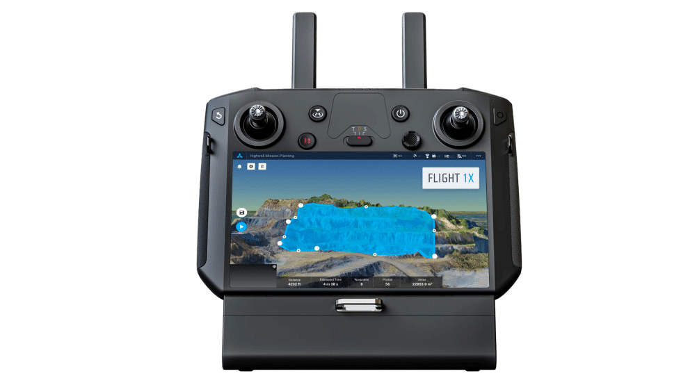
CUSTOMISED MAPPING MISSION
We design a tailored mapping mission based on the features of your building or area. The drone conducts a mapping operation capturing data points for a comprehensive overview.
Data Processing and Creation of 3D Models.
Following the survey, we analyse the data to develop a point cloud or a model of the building or land. This model is accessible online, providing an initial view of the area or building. The point cloud will be used to create further deliverables.
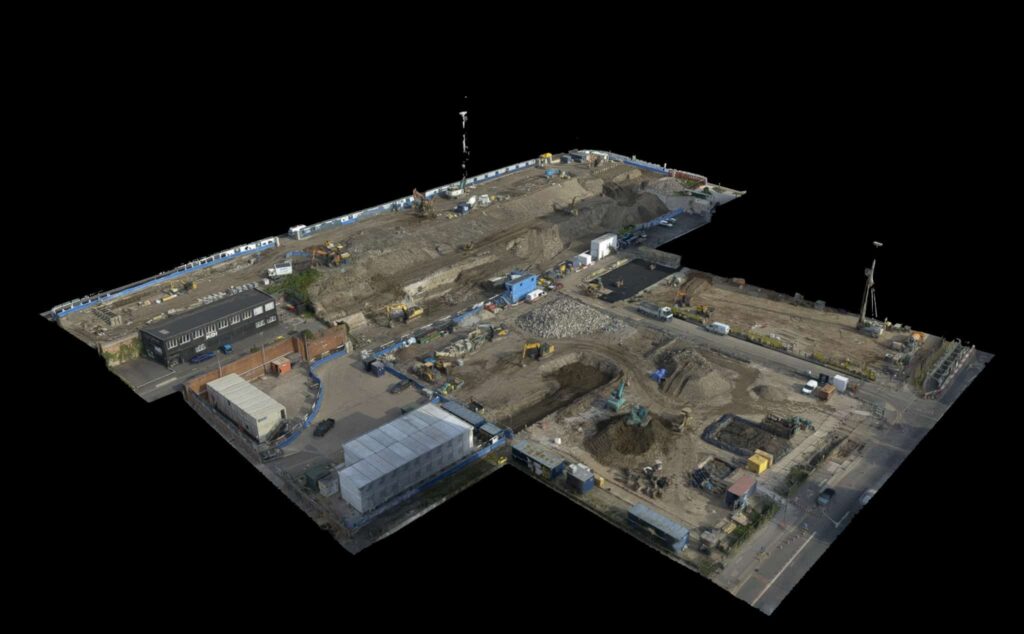
The 3D model integrates all photos captured during the survey. Users have the ability to click on areas of the building within the model to access corresponding high resolution images enabling up views for enhanced detail. This method simplifies the process compared to sorting through photos making it easier to pinpoint areas of interest and gain a thorough understanding of the roofs condition.

Advantages of Drone Based Surveys
– Enhanced Safety with Drones
Utilising drones eliminates the need for workers to operate at heights significantly reducing accidents and injuries.
– Efficiency in Time and Cost
Drone based roof inspections are notably quicker than approaches resulting in time and cost savings. The setup requirements such, as scaffolding or cherry pickers are eliminated, allowing surveys to be completed faster.
– Comprehensive Data Visuals
Our drones capture quality 4K images. Generate intricate 3D models of your roof. This method helps us spot the issues that might go unnoticed using traditional approaches ensuring a thorough evaluation of the condition of your roof.
– Benefits of Drones
Drone inspections, for roofs are suitable for all property types whether commercial like warehouses, offices and residential buildings. Our drones can easily reach to access areas providing an overview of your entire roof.
– Adherence and Expertise in Liverpool
Due to traffic private properties and dense populations in areas of Liverpool Sky Scan Surveys drone pilots are accredited by the CAA and comply with regulations set by the Civil Aviation Authority (CAA). Our team of certified drone pilots undergo training. Possess solid experience to ensure safe and compliant inspections.
Costs , for Drone Surveys in Liverpool
Sky Scan Surveys offers pricing for our drone based survey services in Liverpool. The cost varies based on the area or building being surveyed the type of survey needed and specific survey requirements.
Drone surveys, in Liverpool are now conveniently available online in the form of a model or file type.
Cut and Fill Survey
Upto 5 hectares
(DWG, PDF, Point Cloud)
£1200
Prices for larger units available upon request (POA)
LiDAR
(Point cloud, DSM, DTM, DXF)
£1999
Scan-to-BIM
LOD 300
(Externals, Revit, Point Cloud)
£999
Get Started Today
We’re here to answer your questions and explore how our services can benefit your project. Don’t hesitate to reach out to us via phone, email, or through our social media channels.
Features
Accessibility
Cost Savings
Thermal Imaging
Time Savings
Accurate Data
Faster Inspections
Enhanced Safety
Flexibility
Efficiency
High-Resolution Imagery and Data
In Conclusion
For all your drone survey needs in Liverpool and surrounding areas trust Sky Scan Surveys. Our dedication, to utilising drone technology ensures precise and comprehensive roof surveys tailored to your buildings needs.
Start today! Reach out to us to schedule your drone survey.