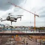
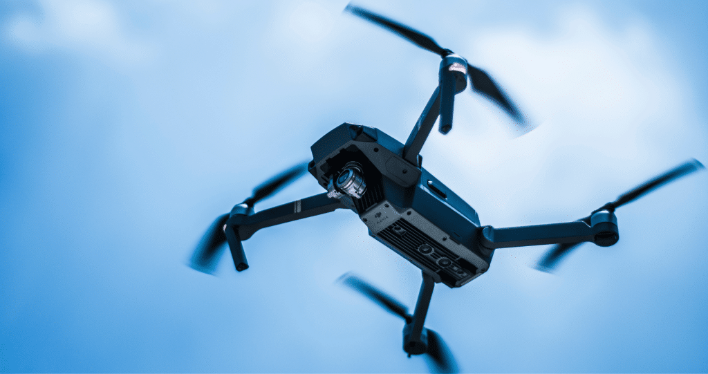
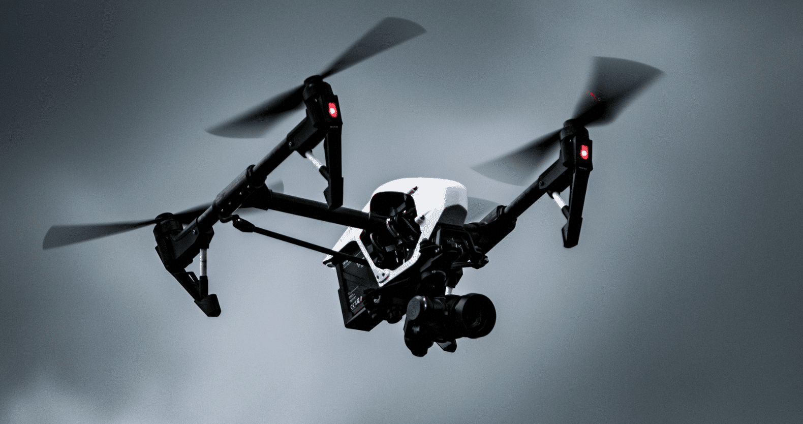
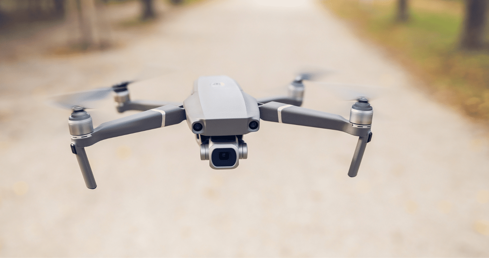
DJI has been a leader in the drone industry for years, and their latest offerings, the DJI Matrice 4T and DJI Matrice 4E, continue to set high standards for commercial drone applications. These enterprise-grade drones cater to industries like construction, surveying, law enforcement, and infrastructure inspection. Both models offer advanced capabilities, including high-precision mapping, drone roof inspections, and LiDAR technology integration. This review will compare the features, performance, and ideal use cases for these two powerful drones.
Design and Build
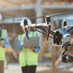
Both the DJI Matrice 4T and 4E are built to withstand harsh environments, featuring robust weather resistance and a lightweight yet durable frame. They have foldable arms for portability and support long flight durations, making them ideal for extended operations such as drone roof inspections and large-scale land surveys.
Camera and Sensor Capabilities
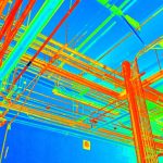
One of the biggest advantages of these drones is their advanced imaging capabilities. The DJI Matrice 4T comes equipped with a high-resolution thermal camera, a 20MP zoom camera, and a 12MP wide-angle camera, making it ideal for public safety, search and rescue, and infrastructure assessments. It also includes a LiDAR sensor for 3D mapping and Scan to BIM applications.
The DJI Matrice 4E, on the other hand, is a more budget-friendly alternative designed for general surveying and mapping. While it lacks the thermal imaging and LiDAR capabilities of the 4T, it still delivers high-quality imagery for aerial inspections and construction site monitoring.
Flight Performance and Battery Life
Both models are designed for long-range operations. The Matrice 4T boasts a flight time of up to 55 minutes, making it an excellent choice for missions requiring extended coverage. The Matrice 4E offers slightly less battery life but still provides ample flight time for most commercial applications.
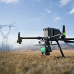
The drones are equipped with obstacle avoidance sensors, ensuring safe navigation even in complex environments like urban infrastructure projects or dense forests. With RTK positioning, they deliver centimeter-level accuracy, crucial for land surveying and 3D mapping.
Applications and Use Cases
Surveying and Mapping
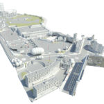
The DJI Matrice 4T is particularly beneficial for professionals requiring high-accuracy mapping and LiDAR-based data collection. The Scan to BIM workflow becomes seamless with its integrated LiDAR and photogrammetry capabilities.
The DJI Matrice 4E is more suitable for standard surveying tasks, providing reliable aerial imagery for agriculture, urban planning, and site progress tracking.
Drone Roof Inspection
With its high-resolution zoom camera and thermal imaging, the DJI Matrice 4T excels in roof inspections. It can detect heat loss, leaks, and structural weaknesses that may not be visible to the naked eye. The Matrice 4E is also capable of conducting drone roof inspections but without the thermal imaging feature.
Public Safety and Law Enforcement
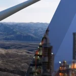
For emergency response teams and law enforcement, the Matrice 4T offers a game-changing advantage with its thermal imaging capabilities. It can be used for search and rescue missions, firefighting, and monitoring drones over private property or land for security purposes.
The Matrice 4E is more suited for general aerial reconnaissance and traffic monitoring.
LiDAR and Scan to BIM Capabilities
The Matrice 4T’s built-in LiDAR sensor enables highly accurate terrain modeling and Scan to BIM applications. It is a valuable tool for engineers and architects looking to create detailed 3D models of construction sites and infrastructure projects.
While the Matrice 4E does not have LiDAR, it can still perform photogrammetry-based mapping, which is sufficient for many construction and real estate applications.
Conclusion
Both the DJI Matrice 4T and 4E are exceptional drones designed for commercial use. The Matrice 4T is the premium choice, featuring thermal imaging, LiDAR capabilities, and superior mapping features. It is ideal for industries that require high-precision data collection, such as construction, law enforcement, and infrastructure inspection.
The Matrice 4E, while lacking some of the advanced features, is a more affordable option for businesses needing reliable aerial imaging and surveying capabilities. Whether you need a drone for inspecting rooftops, conducting land surveys, or monitoring drones over private property, both models provide excellent value depending on your specific needs.