Aerial videography has transformed the way we capture breathtaking landscapes, real estate footage, and even conduct essential inspections. Whether you’re a content creator, real estate professional, or surveyor, drone aircraft technology provides unmatched perspectives. In this guide, we’ll explore everything you need to know about Drone videography, including equipment, techniques, and industry applications.
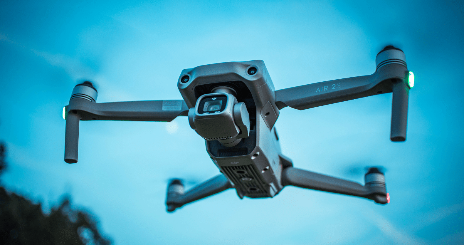
Choosing the Right Drone for Aerial Videography
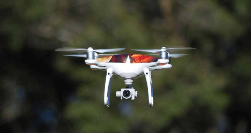
Selecting the right drone is crucial for capturing high-quality footage. Some of the best drones for Aerial videography include:
- DJI Mavic 3 – Ideal for professional drone filming with 5.1K video resolution and advanced gimbal stabilization.
- Autel Evo II – Offers 8K video quality and excellent battery life for extended flights.
- DJI Mini 3 Pro – A compact option perfect for beginners and travel vloggers.
When choosing a drone, consider factors such as camera resolution, battery life, gimbal stability, and flight range to ensure optimal results.
Essential Techniques for Capturing Stunning Drone Footage
Achieving professional-level Aerial videography requires mastering a few key techniques:
1. Master Smooth Movements
Avoid jerky or sudden movements. Use slow and steady motions to create cinematic shots. Utilize intelligent flight modes such as Cinematic Mode or Tripod Mode to enhance stability.
2. Optimize Camera Settings
Adjust settings like ISO, shutter speed, and white balance to get the best video quality. Shooting in 4K at 30fps or higher ensures crisp footage.
3. Use ND Filters
Neutral Density (ND) filters help manage light exposure, especially in bright conditions. ND8, ND16, and ND32 filters are commonly used for aerial filming.
4. Plan Your Flight Path
Before taking off, plan your shots. Utilize mapping apps or built-in software like DJI Fly or Litchi for pre-programmed routes.
Applications of Aerial videography
1. Real Estate Marketing
Aerial videography enhances real estate listings by providing potential buyers with breathtaking views of properties, landscapes, and surrounding areas. A well-crafted aerial video can significantly boost property appeal.
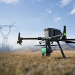
2. Drone Inspection for Roofs and Infrastructure
Roof inspections have become more efficient with drones. Instead of manual inspections, drone inspection roofs help identify damage, leaks, or wear and tear, reducing risks for inspectors.
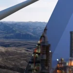
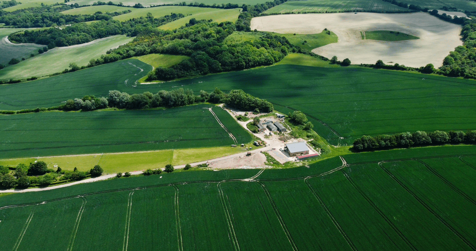
3. Drone Land Survey and Mapping
Surveying large areas can be time-consuming, but drones equipped with LiDAR and high-resolution cameras make land surveys accurate and efficient. Industries such as construction, agriculture, and environmental science benefit greatly from drone land survey capabilities.
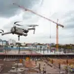
4. Event Coverage and Filmmaking
From weddings to music festivals, drones capture breathtaking aerial shots, enhancing storytelling. Filmmakers use drones for dynamic sequences that were once only possible with expensive helicopter rigs.
5. Agricultural Monitoring
Drones play a vital role in precision agriculture by capturing aerial images that help monitor crop health, irrigation issues, and soil conditions. This data allows farmers to optimize yield and reduce resource wastage.
Legal Considerations for Aerial videography
Before flying a drone, ensure compliance with local aviation laws. Here are a few key regulations:
- Register your drone if required by local authorities.
- Obtain a commercial drone license if using the drone for business purposes.
- Follow no-fly zones and airspace restrictions to avoid fines.
- Maintain visual line-of-sight (VLOS) during flights.
Editing and Post-Production Tips
After capturing aerial footage, the editing process brings your shots to life. Use professional software such as Adobe Premiere Pro, Final Cut Pro, or DaVinci Resolve to enhance your videos. Apply color grading, stabilization, and transitions for a polished final product.
Conclusion
Aerial videography opens up endless creative possibilities, whether for professional filmmaking, real estate, or inspections. By choosing the right equipment, mastering essential techniques, and understanding industry applications, you can create stunning aerial videos that leave a lasting impact. As drone technology continues to evolve, the future of Aerial videography is brighter than ever.