
A Guide to DJI Assistant 2: Unlocking the Full Potential of Your Drone
At Sky Scan Surveys, we know that keeping your drone updated and in peak condition is essential for ensuring top-tier performance. One of the most effective tools to manage your

At Sky Scan Surveys, we know that keeping your drone updated and in peak condition is essential for ensuring top-tier performance. One of the most effective tools to manage your
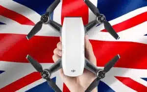
As drone usage continues to surge, understanding the latest drone laws in the UK is crucial for both recreational and commercial operators. The UK Civil Aviation Authority (CAA) has implemented
Hello drone enthusiasts! It’s great to have you on the channel. I’m Paul. Today we’re delving into the world of starting a career in drone surveying. With 17 years in
Sky Scan Surveys provides a range of surveying services, throughout the UK. Our dedicated team conducts each survey with professionalism ensuring we maintain standards for all clients regardless of project
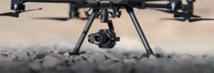
Topographic surveys also referred to as topo surveys play a role for individuals involved in property development, construction and land management. These surveys offer precise maps of the man made
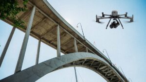
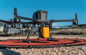
rone inspections driven by vehicles (UAVs) have become a game changer in the UK. These incredible flying devices are revolutionising inspection practices providing benefits that reshape our approach to evaluating
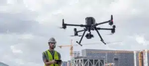
The construction industry is constantly evolving, with companies seeking ways to complete projects quickly affordably. One technology that is making an impact, in this field is drone surveying. In this
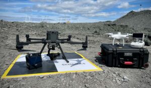
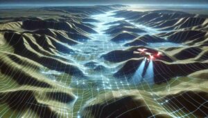
Drone surveys and aerial mapping make use of vehicles (UAVs) with sensors pointing downward such, as LIDAR payloads, RGB cameras or multispectral imaging systems to collect important data. When using
As drone usage continues to surge, understanding the latest drone laws in the UK is crucial for both recreational and commercial operators. The UK Civil Aviation Authority (CAA) has implemented

A drone survey uses unmanned aerial vehicles (UAVs), or drones, equipped with downward-facing sensors like RGB cameras, multispectral cameras, and LIDAR systems to capture high-resolution aerial data. This method is