Drone surveys have revolutionised data collection across industries, offering unparalleled efficiency, safety, and accuracy. But with this innovation comes the question: how much does a drone survey cost in the UK? This blog post will delve into the factors influencing drone survey pricing here in the UK, explore common applications like roof inspections and BIM workflows, and equip you with the knowledge to make informed decisions for your next project.
KEYWORDS: Drone survey cost UK, Drone roof inspection cost UK, drone surveying for BIM UK, drone data in construction UK.
Decoding Drone Survey Costs: A Multifaceted Equation
Several key factors influence drone survey pricing in the UK:
- Project Scope: The complexity and scale of your project significantly impact the cost. A simple roof inspection requires less expertise and time compared to intricate 3D modelling for BIM integration.
- Deliverables: The desired outputs, such as high-resolution photos, detailed reports, or 3D point clouds, affect the pricing. More intricate deliverables require additional processing and analysis.
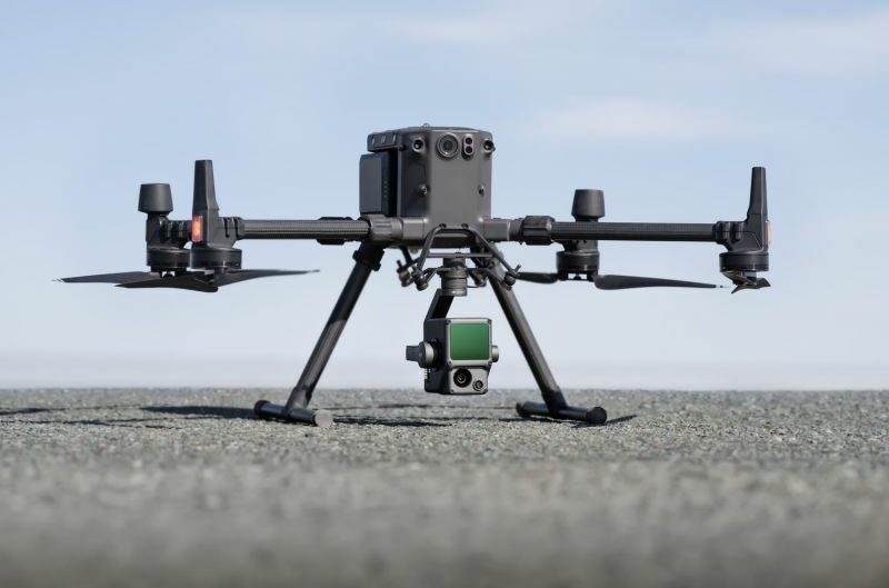
- Drone Equipment: The type of drone used and any specialised sensors (thermal imaging, LiDAR) employed influence the cost. High-end equipment captures more detailed data but comes at a premium.
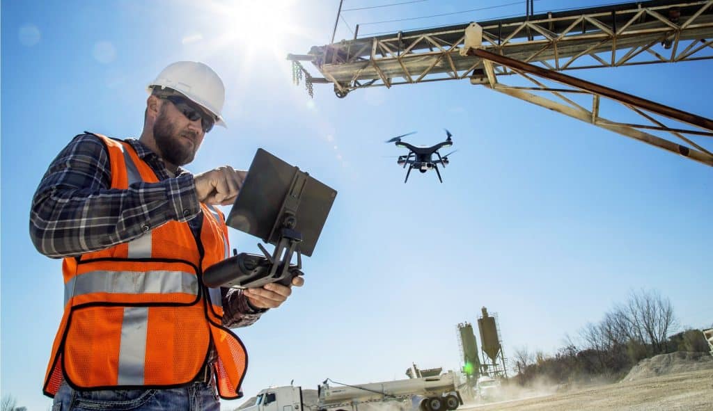
- Pilot Expertise: Experienced pilots with relevant CAA (Civil Aviation Authority) permissions command higher rates due to their advanced skills and knowledge, ensuring a smoother and safer operation.
- Travel and Logistics: Location, travel distance, and any necessary permits can affect the overall cost, particularly for remote or complex projects.
Understanding Common Pricing Models in the UK:
Drone survey companies in the UK often utilise various pricing models to cater to diverse project needs:
- Hourly Rate: Ideal for projects with variable durations or unforeseen complexities. Rates can range from £75 to £500+ per hour depending on the factors mentioned above.
- Day Rate: Provides a fixed cost for a day’s work, typically 5-7 times the hourly rate. This can be beneficial for repetitive tasks spanning multiple days.
- Per-Hectare Rate: Commonly used in agriculture and construction, with prices varying based on the area surveyed and deliverables (hectare = 2.47 acres).
- Project-Based Pricing: A comprehensive quote encompassing all project aspects is provided after a thorough consultation. This ensures transparency and avoids hidden costs.

Optimising Your Drone Survey Investment: Getting the Most Out of Your Project in the UK:
Here are some valuable tips to maximise your return on investment with drone surveys in the UK:

- Clearly Define Your Needs: A well-defined project scope ensures you receive the necessary data without unnecessary expenses. Discuss your goals and desired deliverables with the drone survey company.
- Compare Quotes: Obtain quotes from multiple reputable drone service providers in the UK to find the best value. Don’t be afraid to negotiate based on your project specifics.
- Consider Experience: While cost is important, prioritize experience and expertise for complex projects. A CAA-approved pilot with a proven track record can ensure efficient data collection and higher quality results.
- Ask Questions: Don’t hesitate to ask detailed questions about the pilot’s qualifications, equipment, insurance coverage, and safety protocols. A transparent and professional company will readily address your concerns.
Beyond Roof Inspections: Expanding Drone Survey Applications in the UK
Drone surveys offer a multitude of benefits beyond traditional roof inspections. Here are a few examples:
- Construction Progress Monitoring: Track construction progress efficiently with regular topographic surveys. Capture high-resolution aerial imagery to identify potential delays or deviations from the plan.
- Site Surveys and Mapping: Generate accurate 2D and 3D maps of construction sites, facilitating better planning, resource allocation, and volume calculations.
- BIM Integration: Incorporate high-quality drone data into Building Information Modelling (BIM) workflows. Enhance 3D models with real-world details, improving design accuracy and collaboration.
Ready to Leverage Drone Surveys for Your UK Project?
Drone surveys offer a powerful tool for businesses across various industries in the UK. By understanding drone survey costs in the UK, exploring different applications, and strategically planning your project, you can unlock the full potential of this innovative technology.
Contact us today for a free consultation and quote!
We are a team of experienced and CAA-approved drone pilots passionate about delivering high-quality data and exceptional customer service. We’ll work closely with you to understand your specific needs and tailor a drone survey solution that fits your budget and project requirements.
Let’s transform your data collection process and propel your projects forward!


