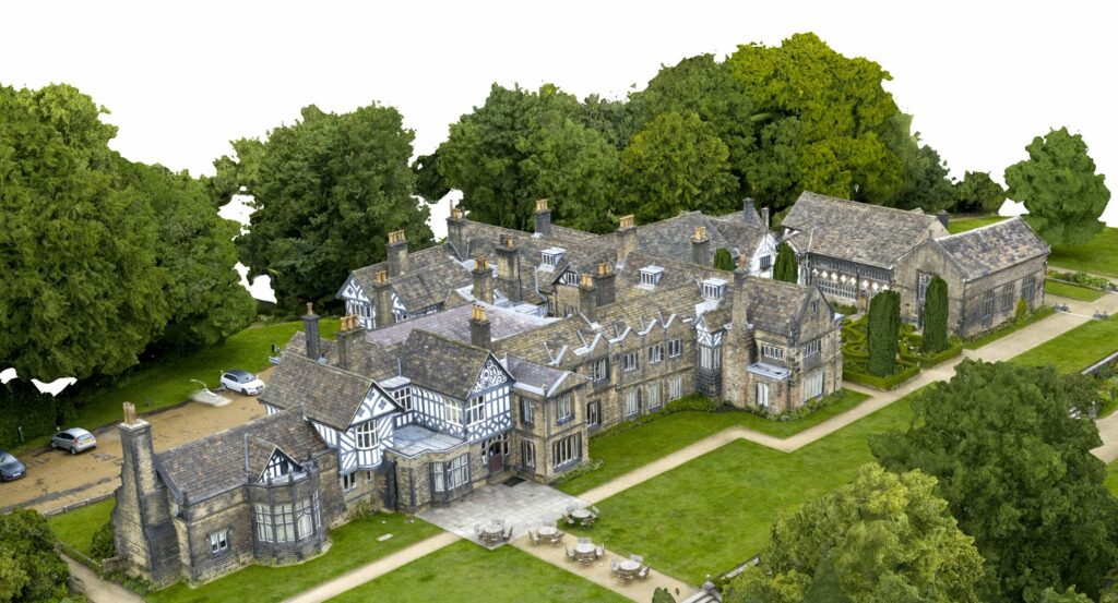
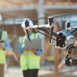
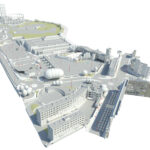
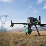
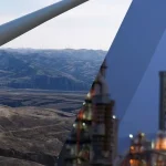
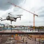
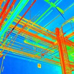
Drones are quietly revolutionising the world of data collection and mapping, with one of their most impressive feats being the ability to generate detailed 3D models through drone photogrammetry. This process involves capturing multiple images of an area from various angles. Software then stitches these images together to create a realistic, three-dimensional representation – a 3D model.
What Exactly is a 3D Model?
Imagine a digital version of a real-world object or space created using specialised software. That’s essentially what a 3D model is. Photogrammetry allows for the creation of highly detailed 3D models that capture the shape, structure, and even textures of an object. This allows them to be rotated and viewed from any angle, providing a comprehensive understanding of their dimensions and appearance.
Think Outside the Box with 3D Mesh and Textures in Photogrammetry
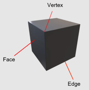
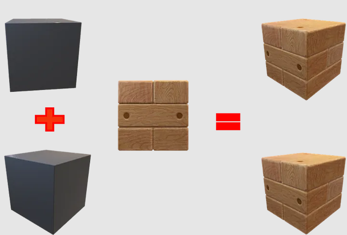
At the heart of every 3D model lies a mesh. Think of it as a digital skeleton, built from vertices (points), edges (lines connecting points), and faces (the surfaces between edges). This mesh is crucial for creating intricate details in photogrammetry-derived 3D models. Textures act like digital brushstrokes, adding colour, patterns, and other visual elements to the mesh. Together, mesh and textures create stunningly realistic 3D models.
The Limitless Applications of 3D Drone Photogrammetry Models
From cityscapes to cornfields, 3D models generated through drone photogrammetry are making waves across various industries:
- Urban Planning: City planners can now visualise development projects, assess infrastructure needs, and optimise layouts for both efficiency and aesthetics – all with the help of 3D models created using drone photogrammetry.
- Agriculture: Farmers are leveraging drone photogrammetry to create detailed 3D models of their fields. This data helps them monitor crop health, assess soil conditions, and plan irrigation more effectively, promoting precision agriculture and maximising yields.
- Environmental Monitoring: Conservation efforts rely heavily on keeping a close eye on ecosystems. Drones equipped with sensors can capture detailed 3D models of natural habitats through photogrammetry. This data is invaluable for researchers who track environmental changes, identify potential threats, and implement effective conservation strategies.
- Construction: Architects and engineers are using 3D models generated by drone photogrammetry to visualise projects before construction even begins. This allows them to identify potential problems early on, optimise designs, and streamline the entire construction process.
Read More: Drone For Traffic Management
Understanding 3D File Formats for Photogrammetry Models
Different file formats store varying types of information about 3D models. Here are a few common ones used for photogrammetry models:
- OBJ (Object File): A widely used format for 3D printing and graphics applications. OBJ files store 3D objects, including polygonal faces, texture maps, 3D coordinates, and other relevant data for 3D models.
- FBX (Filmbox): This proprietary format stores information on a model’s geometry, textures, colours, and other visual properties. It’s commonly used in the film and video game industries, but can also be used for 3D models generated from photogrammetry.
- 3DS (3D Studio): Another proprietary format, 3DS is used by Autodesk software and stores information on a model’s geometry, animation, and basic appearance. This format is popular in fields like engineering, architecture, and production, and can be used for various types of 3D models, including those created using photogrammetry.
That concludes our exploration of 3D models in drone photogrammetry. Hopefully, this blog of Sky Scan Survey has shed some light on this powerful technology and its many applications!

