
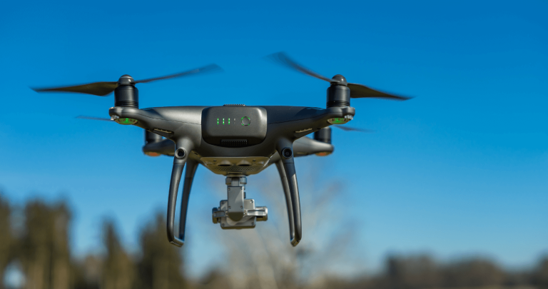
DJI has been a leader in the drone industry for years, and their latest offerings, the DJI Matrice 4T and DJI Matrice 4E, continue to set high standards for commercial drone applications. These enterprise-grade...
The aviation industry is undergoing a significant transformation, with drone aircraft technology leading the way. Unmanned Aerial Vehicles (UAVs), commonly known as drones, are revolutionising various...
Drone videography has transformed the way we capture visuals, offering breathtaking perspectives that were once impossible without helicopters or expensive equipment. Whether you’re a filmmaker,...
Aerial videography has transformed the way we capture breathtaking landscapes, real estate footage, and even conduct essential inspections. Whether you’re a content creator, real estate professional,...
What is Drone Surveying?
Drone surveying is the process of using unmanned aerial vehicles (UAVs) to capture aerial data for mapping, analysis, and inspections. It has revolutionized industries such as...

Land surveys are essential for various applications, from real estate transactions to construction and urban planning. Whether conducting a drone land survey, a drone roof survey, or a topographic survey,...
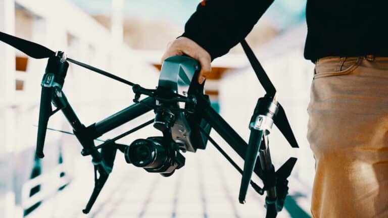
Drone videography has revolutionised the world of video production, bringing an entirely new dimension to cinematic shots and storytelling. As drone technology evolves, drone videography has become an...
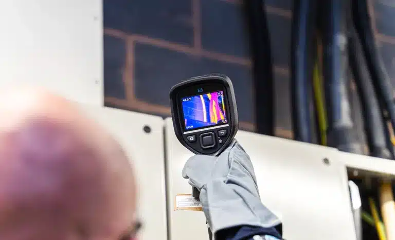
A thermal survey is a powerful method of detecting and mapping temperature anomalies in buildings, infrastructure, and other environments. By using advanced thermal imaging technology, these surveys can...
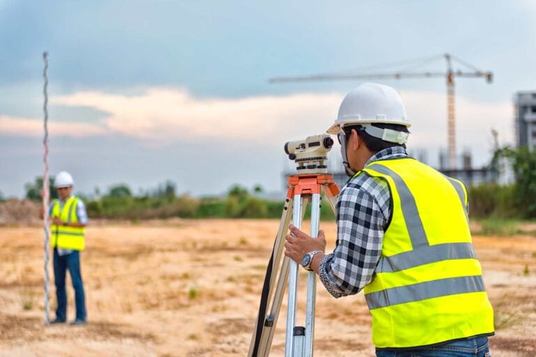
Land surveying is a vital process in property development, real estate transactions, and land management. It involves the accurate measurement and mapping of a plot of land to determine its boundaries,...
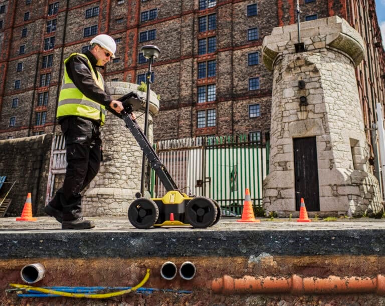
At Sky Scan Surveys, can provide comprehensive utility survey services to ensure that your construction project is built safely and efficiently. Utility surveys are crucial for accurately locating underground...