
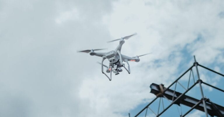
At Sky Scan Surveys, we frequently work with Unmanned Aerial Vehicles (UAVs) to offer innovative surveying and inspection services. However, the terminology surrounding drones UAVs and UAS can be confusing....
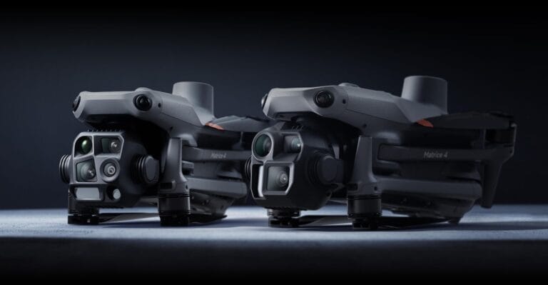
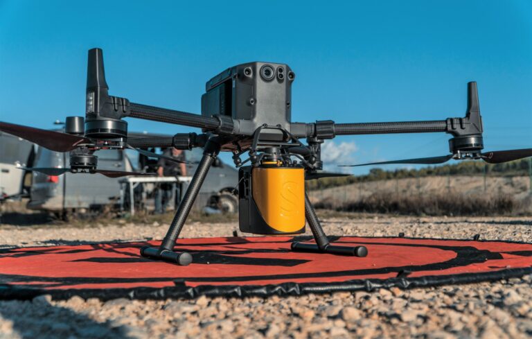
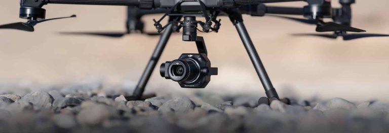
The DJI Matrice 4 Series represents a new era in intelligent multi-sensor drones, offering powerful capabilities for a range of enterprise applications. The Matrice 4T and Matrice 4E are designed to serve...
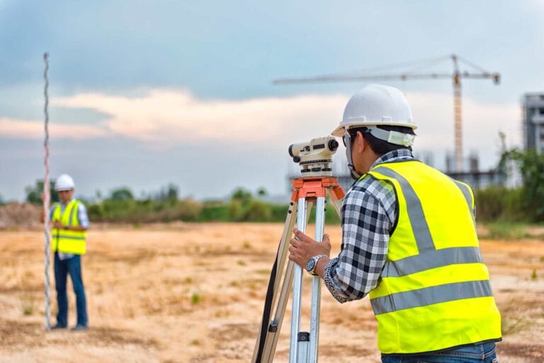
A topographical survey is a detailed and accurate representation of a piece of land, capturing all natural and man-made features within the surveyed area. It is essential for planning, design, and construction,...

Yes, you can fly a drone over private property or land in the UK, but it is subject to specific regulations that ensure safety, privacy, and compliance with the law. To help you navigate these rules and...

At Sky Scan Surveys, we know that keeping your drone updated and in peak condition is essential for ensuring top-tier performance. One of the most effective tools to manage your drone’s firmware, calibrate...
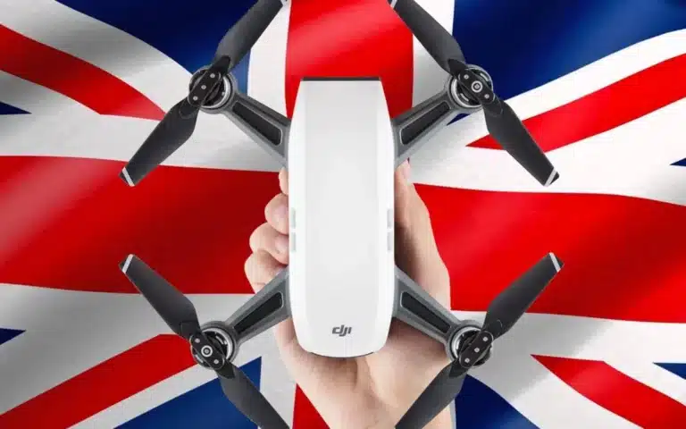
As drone usage continues to surge, understanding the latest drone laws in the UK is crucial for both recreational and commercial operators. The UK Civil Aviation Authority (CAA) has implemented a series...
Hello drone enthusiasts! It’s great to have you on the channel. I’m Paul. Today we’re delving into the world of starting a career in drone surveying. With 17 years in construction under...

Sky Scan Surveys provides a range of surveying services, throughout the UK. Our dedicated team conducts each survey with professionalism ensuring we maintain standards for all clients regardless of project...
Topographic surveys also referred to as topo surveys play a role for individuals involved in property development, construction and land management. These surveys offer precise maps of the man made features...
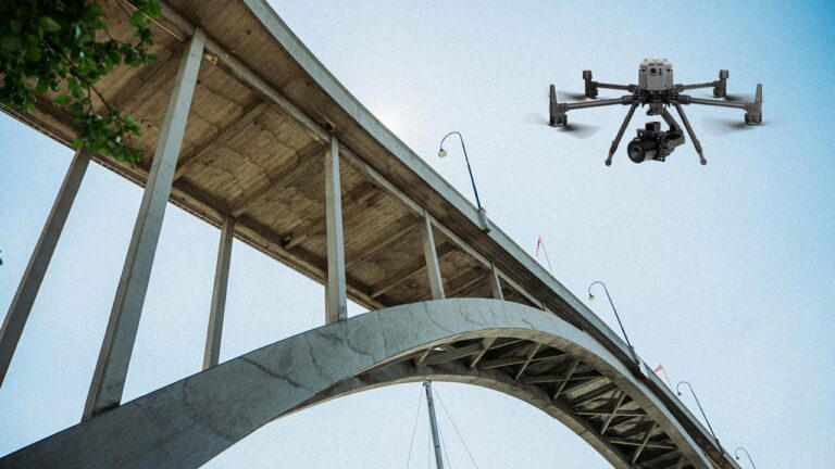
rone inspections driven by vehicles (UAVs) have become a game changer in the UK. These incredible flying devices are revolutionising inspection practices providing benefits that reshape our approach to...