

The construction industry is constantly evolving, with companies seeking ways to complete projects quickly affordably. One technology that is making an impact, in this field is drone surveying. In this...
Drone surveys and aerial mapping make use of vehicles (UAVs) with sensors pointing downward such, as LIDAR payloads, RGB cameras or multispectral imaging systems to collect important data. When using an...

As drone usage continues to surge, understanding the latest drone laws in the UK is crucial for both recreational and commercial operators. The UK Civil Aviation Authority (CAA) has implemented a series...

A drone survey uses unmanned aerial vehicles (UAVs), or drones, equipped with downward-facing sensors like RGB cameras, multispectral cameras, and LIDAR systems to capture high-resolution aerial data....

In today’s construction industry, efficiency and precision are paramount. Traditional methods of monitoring progress can be time-consuming, costly, and even dangerous. Enter drone surveys, a revolutionary...
In today’s data-driven world, precision is king. Across industries, the ability to capture intricate details and translate them into actionable insights is paramount. Enter LiDAR drone surveys, a...
Ensuring your warehouse operates flawlessly hinges on keeping it in top condition. Regular warehouse roof surveys are a cornerstone of preventative maintenance, but traditional methods can be a burden....
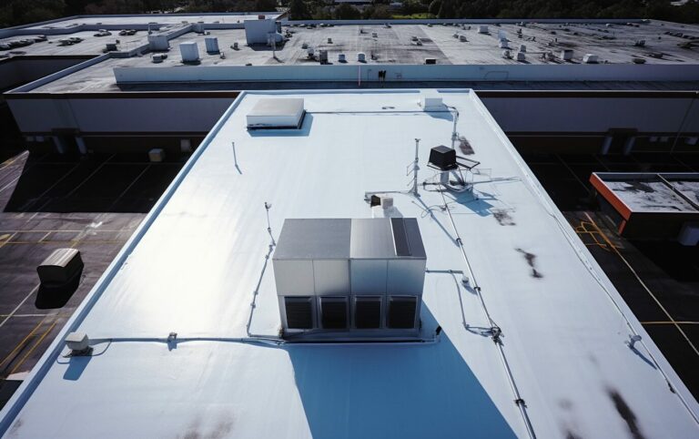
Maintaining a safe and functional warehouse is crucial for any business operation. Regular roof inspections are a vital part of preventative maintenance, but traditional methods can be time-consuming,...
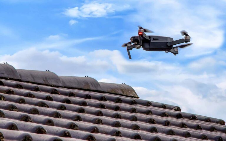
In the realm of home and property maintenance, roof inspections are paramount yet often neglected. Traditional roof inspections, while thorough, can be cumbersome, expensive, and occasionally perilous....

Introduction
In recent years, the role of drones in warfare has evolved significantly, becoming a crucial element in modern military strategy. The ongoing conflicts, notably in Ukraine, have underscored...