
- Home /
- Projects
Survey projects across the UK
Surveying in practice.
Real projects. Complex sites. Measured results.
Drone LiDAR, topographic surveys, laser scanning, measured buildings, roof inspections and 3D modelling — each project shows what the client needed, how the site was recorded and the files delivered.
Selected projects
View all projects →
All projects
Browse by type of work. Each case study sets out the requirement, survey method, checks and the files handed over.
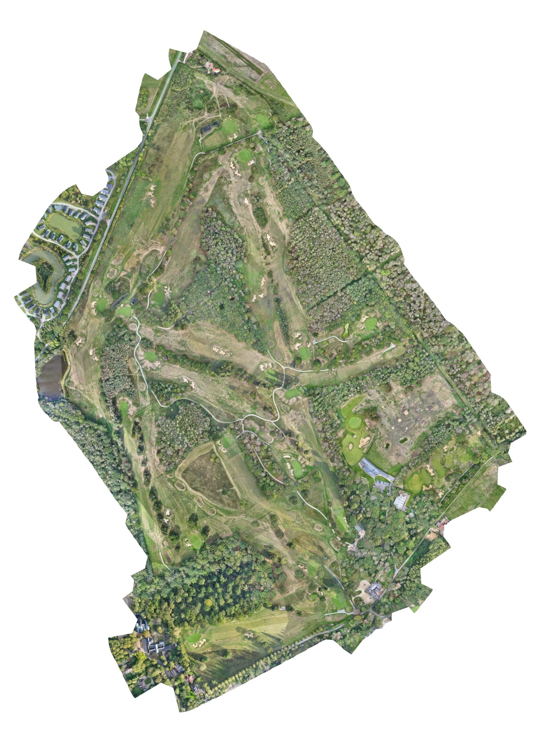
Drone & LiDAR surveys
Woodhall Spa, Lincolnshire · Golf course designer
Pureplay Golf needed the shape of the ground at the Bracken and Hotchkin courses at Woodhall Spa for course design and digital modelling.
Method
Aerial roof survey
Files
DWG · PDF · LAZ · E57
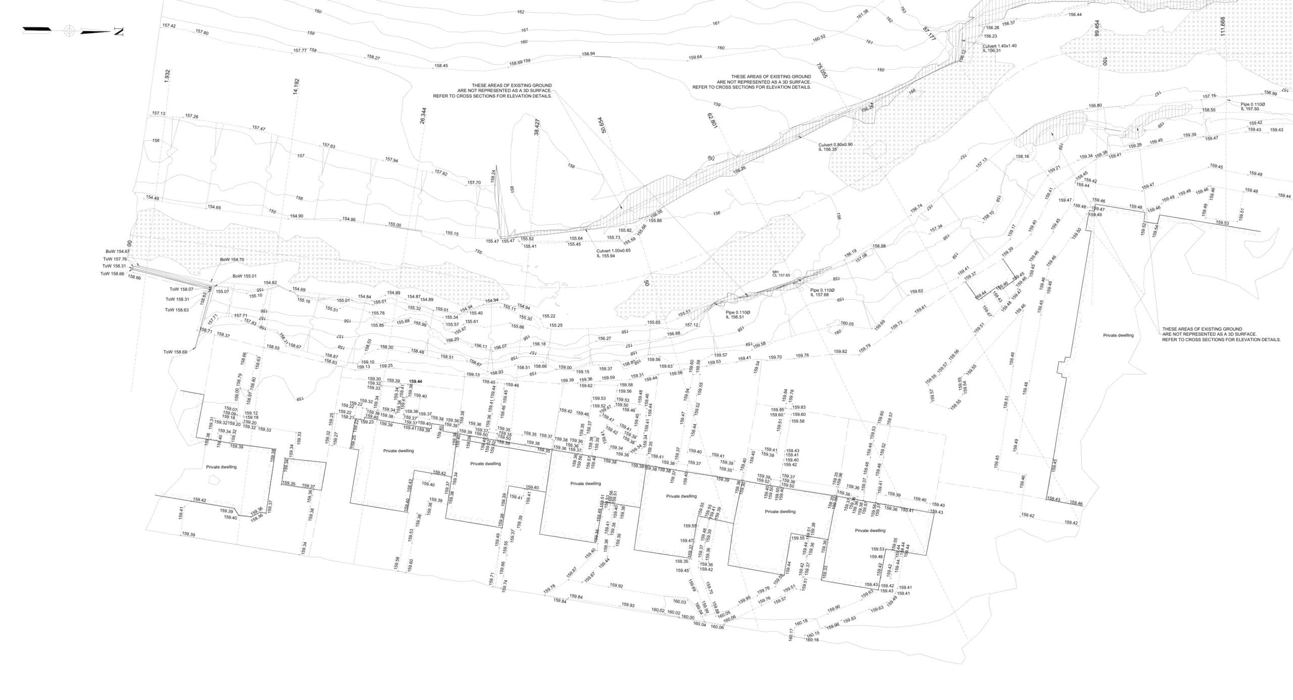
Land & topographic surveys
Torfaen, South Wales · Housing association and engineers
Curtins needed to understand the riverbank beside Pleasant Court housing for a stabilisation assessment on behalf of Bron Afon.
Method
Riverbank survey
Files
IFC · DWG · PDF · LAZ
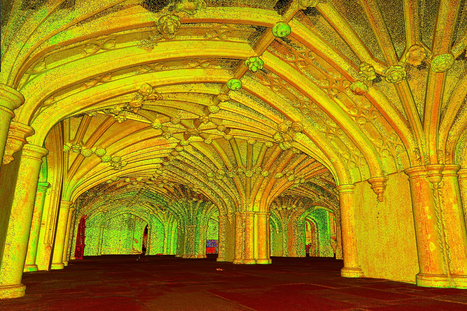
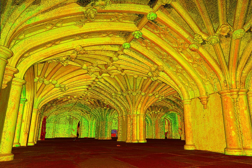
Buildings & 3D modelling
Holborn, London · Event production company
Farago Projects needed to plan an event inside Lincoln’s Inn Undercroft.
Method
Laser scan to CAD
Files
DWG · PDF · E57 · RCP
Roof & infrastructure inspections
Bolton, Greater Manchester · Architects
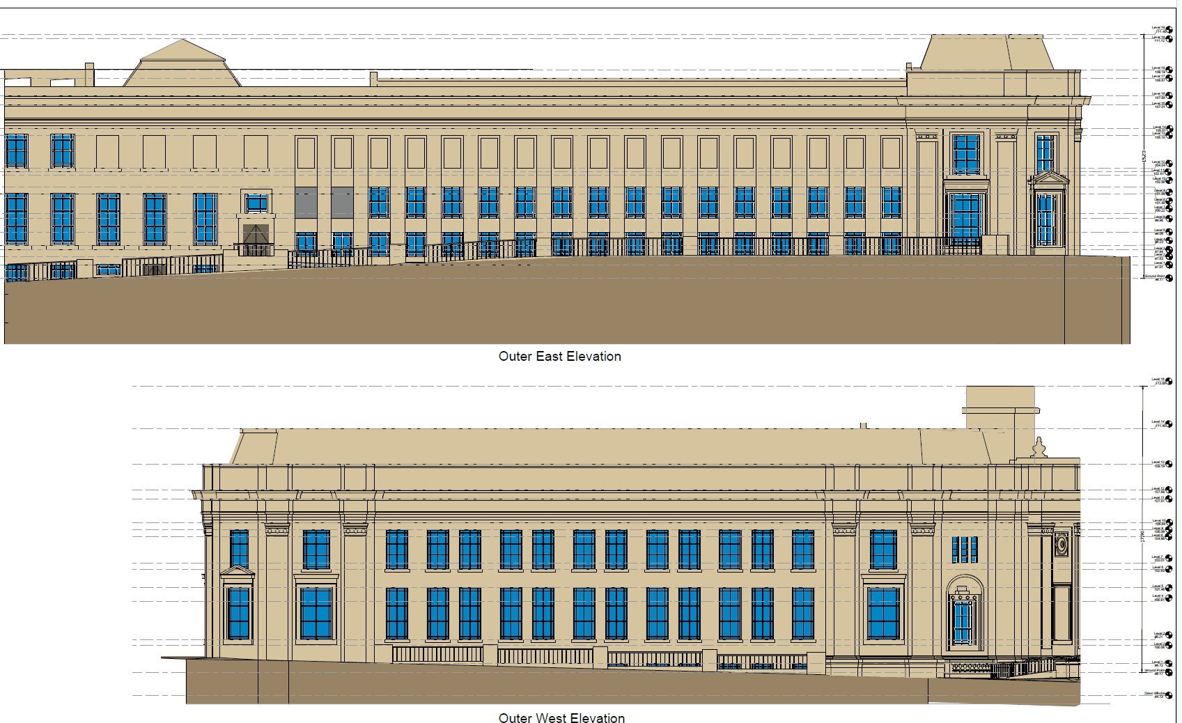
Baily Garner’s design team needed the existing roof geometry and levels at Bolton Museum and Central Library for a redesign.
Method
Aerial roof survey
Files
DWG · PDF · LAZ · E57
Buildings & 3D modelling
Trafford Centre, Greater Manchester · Height-access designer
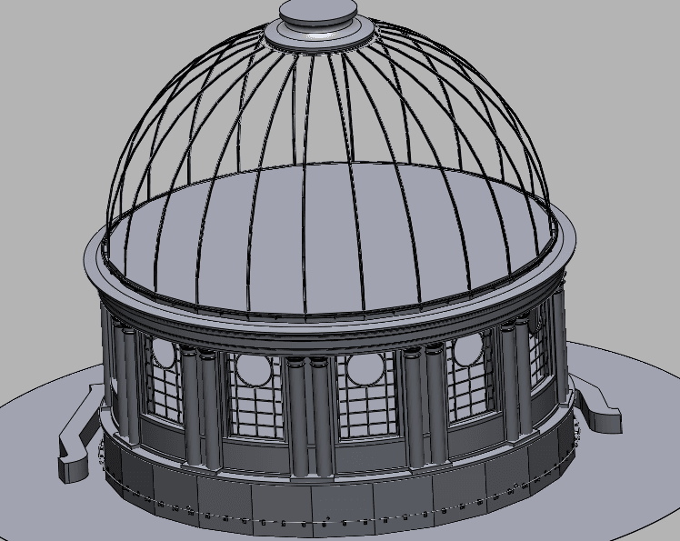
Zarafa needed the Trafford Centre dome and adjoining façade geometry to develop an access system.
Method
Photogrammetry to CAD
Files
STEP
Land & topographic surveys
Ashbourne, Derbyshire · Residents’ group
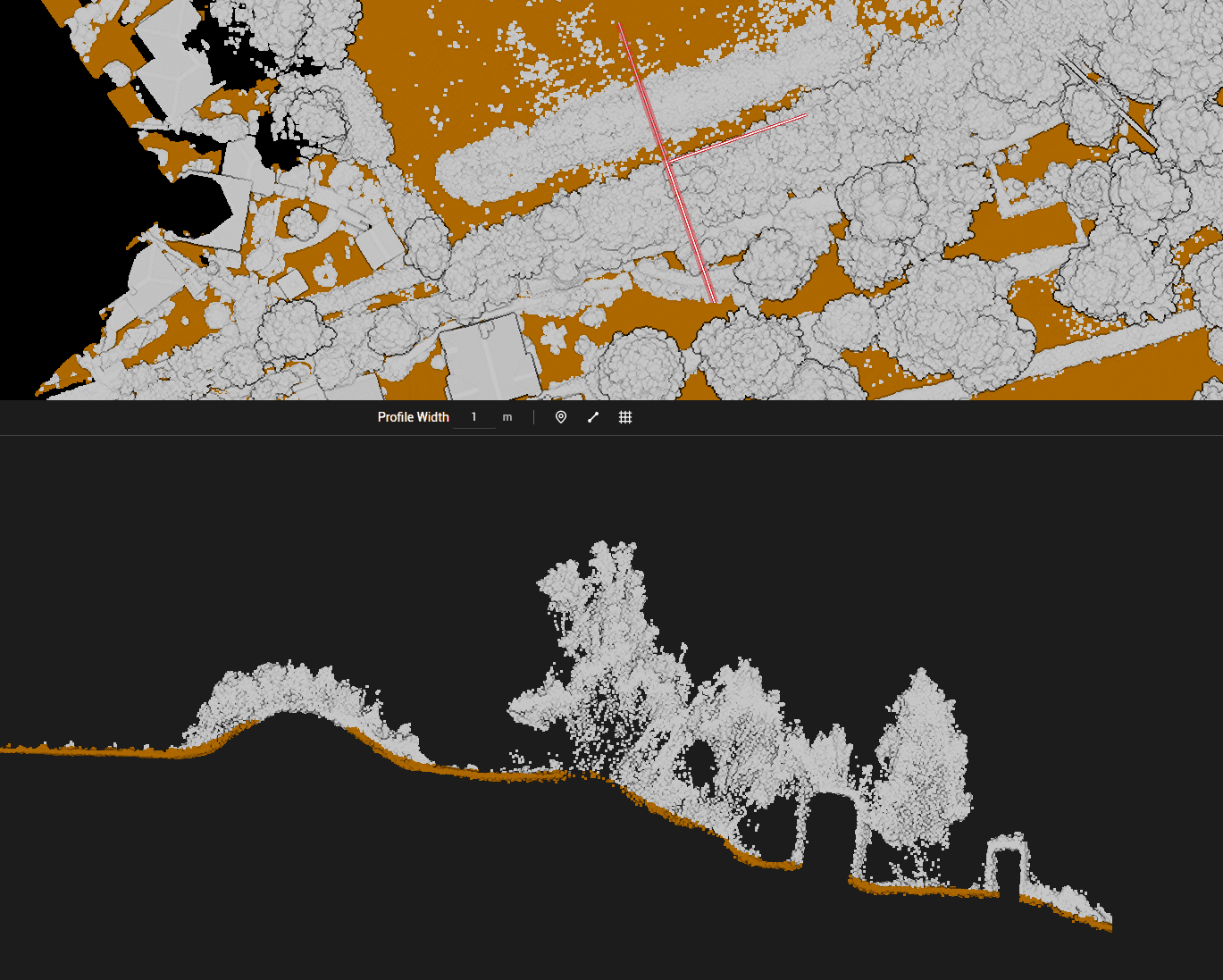
Windsor Close Action Group needed measured terrain and road information at Manor Road, Ashbourne.
Method
Terrain and highway survey
Files
DWG · DXF · PDF · LAS
Land & topographic surveys
Manchester · Developer
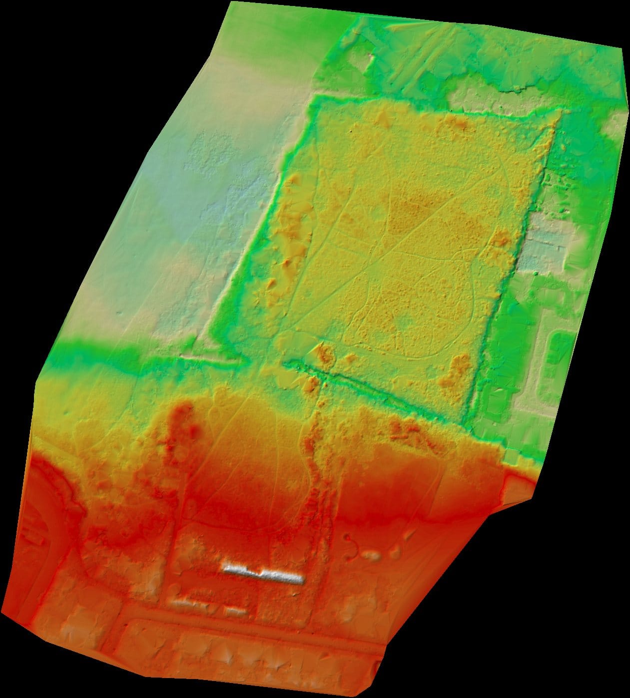
Step Places needed additional levels and terrain information at Ryebank Fields to fill gaps in an earlier site record.
Method
Topographical infill survey
Files
DWG · PDF · 4K video
Land & topographic surveys
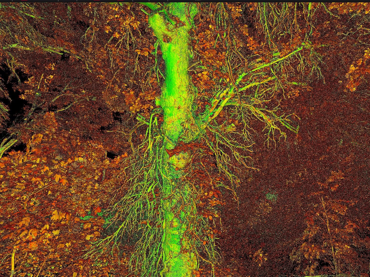
Arboricultural consultant
Wright Landscape and Arboriculture needed a practical starting point for inspecting trees at the Innovation Centre woodland.
Method
Woodland laser scan
Files
DWG · DXF · PDF
Roof & infrastructure inspections
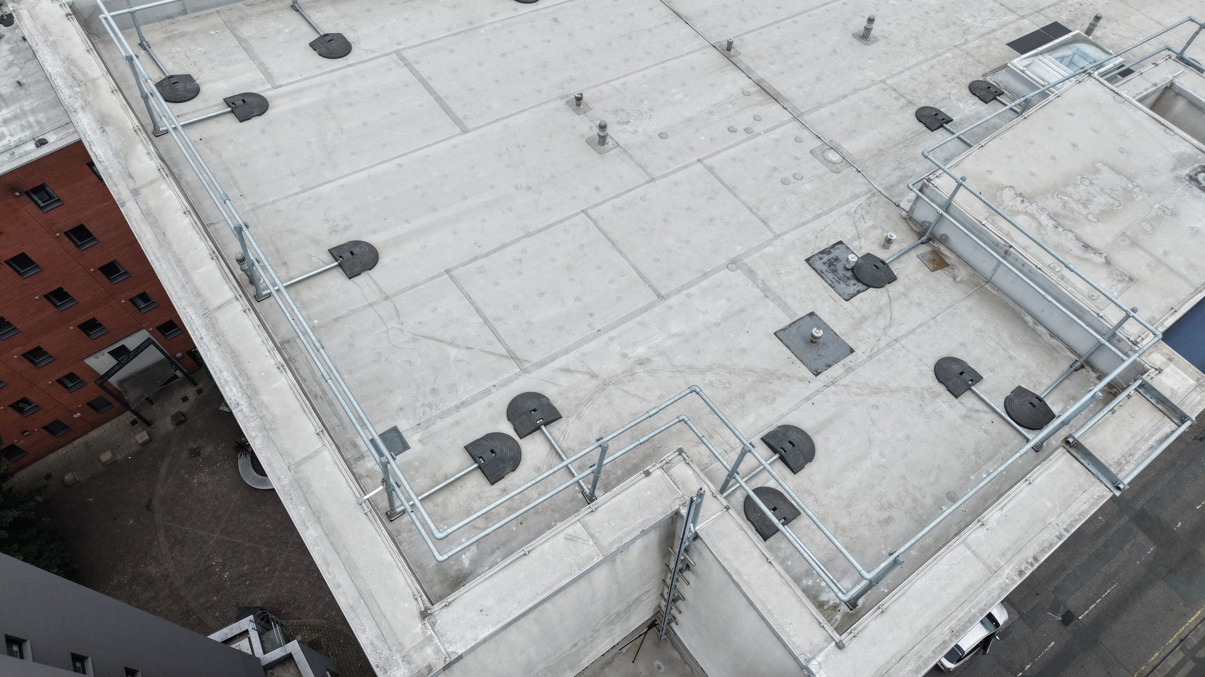
Multiple UK sites · Cost consultant for a student-housing operator
Cumming Group needed a consistent visual roof record across the Unite Students property programme.
Method
Roof-inspection programme
Files
Drone & LiDAR surveys
Llandarcy, Neath Port Talbot · Developer
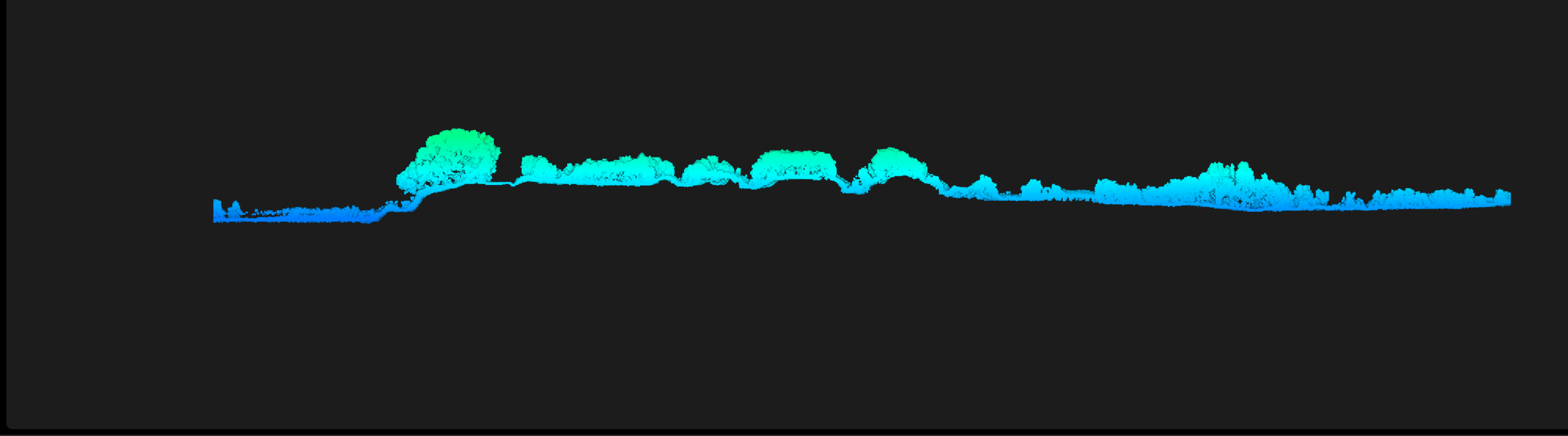
Revantage needed current ground levels and site features at Coed Darcy / Llandarcy.
Method
Drone LiDAR topographical
Files
DWG · PDF · CSV · Orthomosaic
Buildings & 3D modelling
Architects
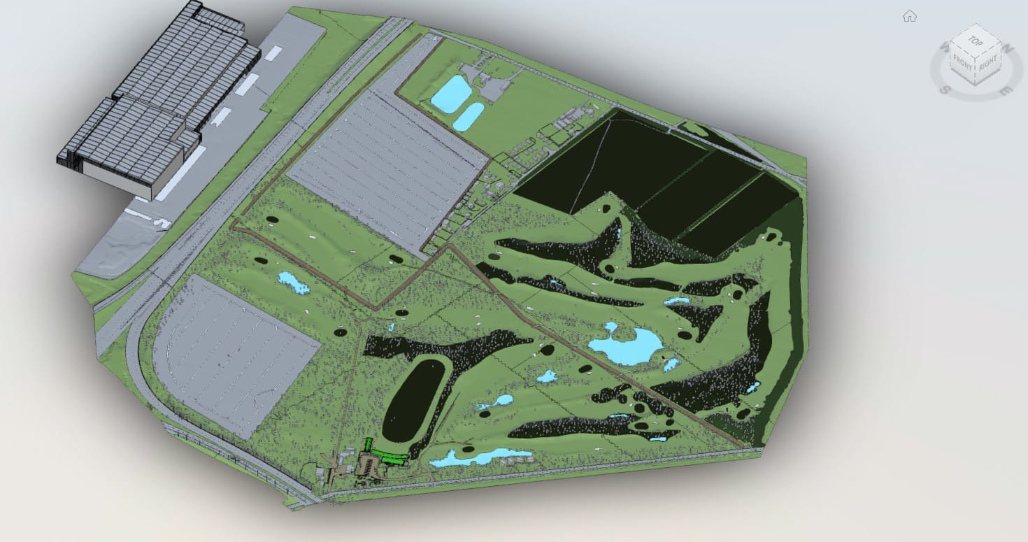
Building Link Design needed the terrain, drainage levels and existing buildings at Kingswood Golf Course in a model its architect could use for design.
Method
Site model for Revit
Files
Revit · IFC · PDF
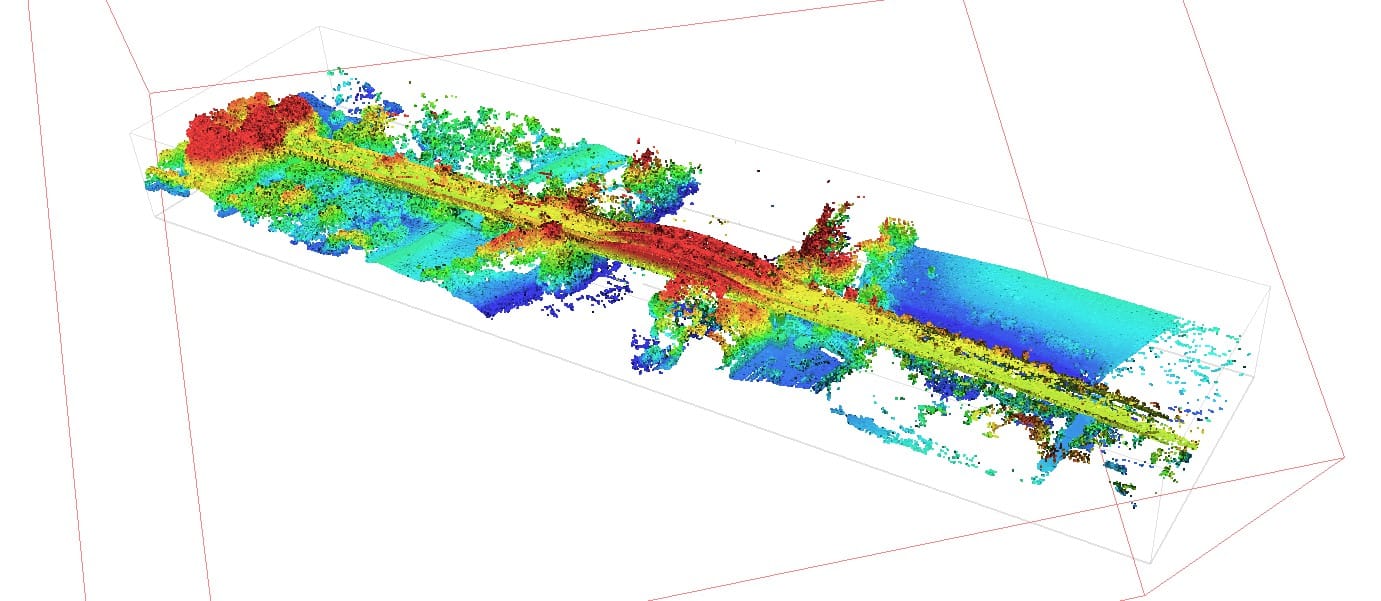
Roof & infrastructure inspections
Castleford, West Yorkshire · Engineering consultancy
Clancy Consulting needed an overall visual record of Castleford Viaduct and closer references for inspection discussions.
Method
Structure inspection model
Files
Orthomosaic · Hosted 3D model
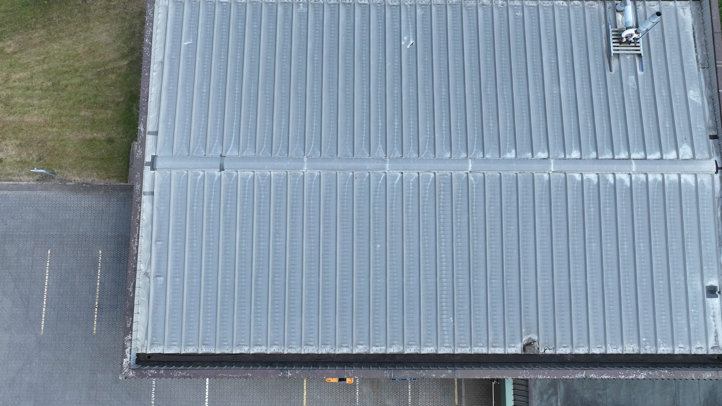
Roof & infrastructure inspections
Inspection services provider
CWC360 needed to identify areas at Thorntons Park where gutter cleaning required attention.
Method
Roof and gutter inspection
Files

Roof & infrastructure inspections
Yorkshire · Building surveyors
Newmark’s building surveyors needed roof views they could not obtain during their own inspections of Yorkshire bus stations.
Method
Roof photography
Files
PDF · DNG · 4K video
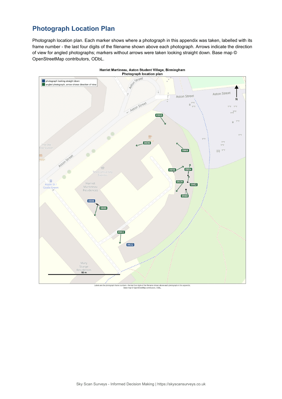
Roof & infrastructure inspections
Birmingham · Cost consultant
Cumming Group needed roof reports for five Aston Student Village buildings in Birmingham.
Method
Roof reports
Files
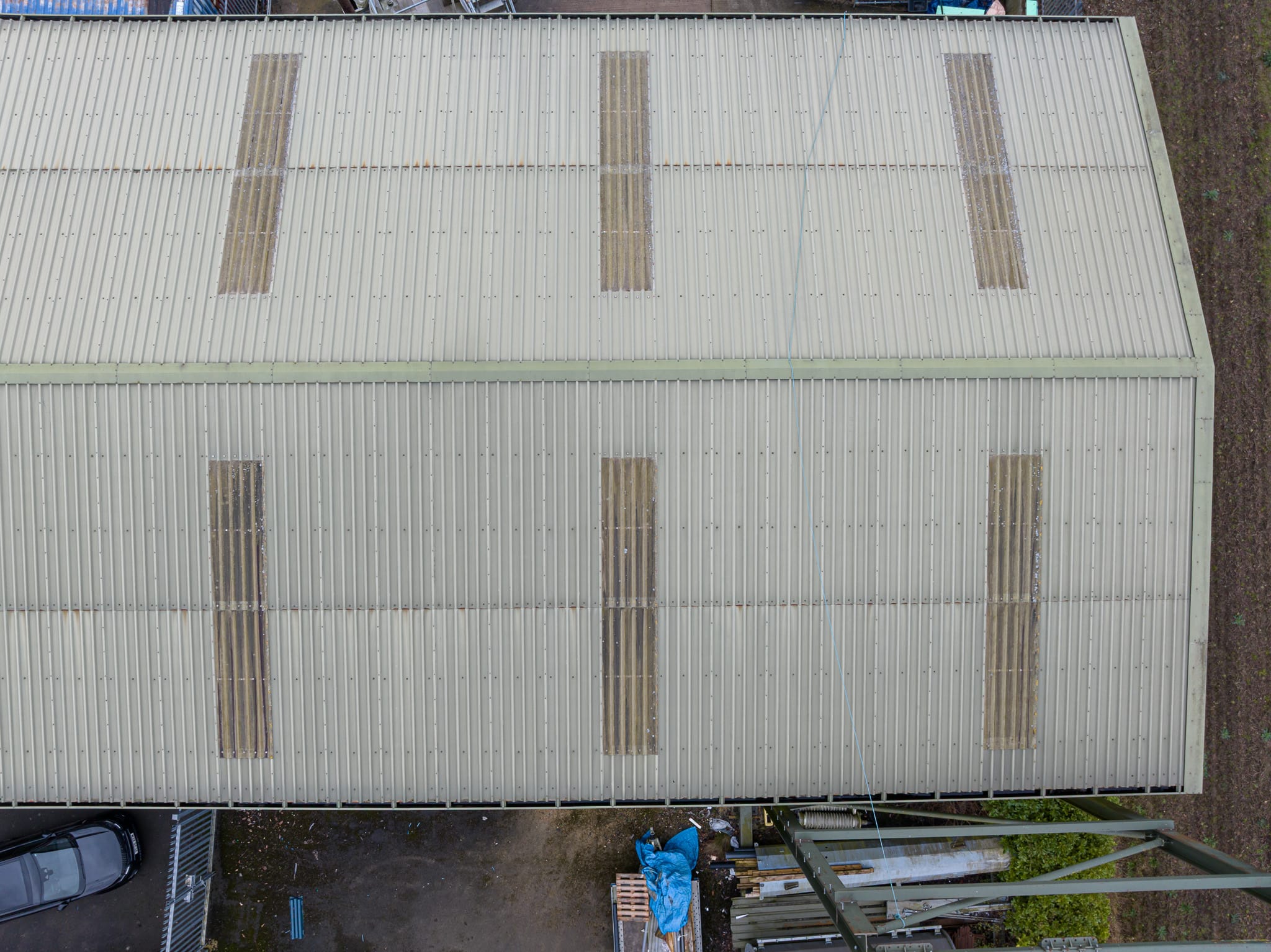
Roof & infrastructure inspections
Copgrove, North Yorkshire · Building surveyors
Newmark needed roof photographs of two marked units at Jubilee Court, Copgrove, for a property review.
Method
Roof photography
Files
PDF · JPEG
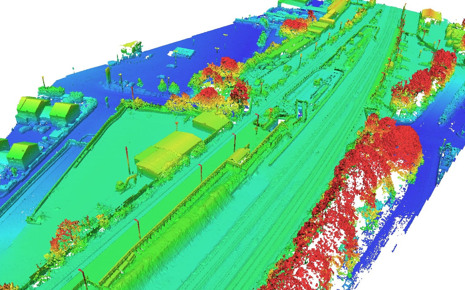
Drone & LiDAR surveys
Mirfield, West Yorkshire · Rail contractor
BAM Nuttall’s engineers needed to continue design work and project checks at Mirfield during the working week.
Method
Rail corridor model
Files
DWG · Orthomosaic · Hosted 3D model
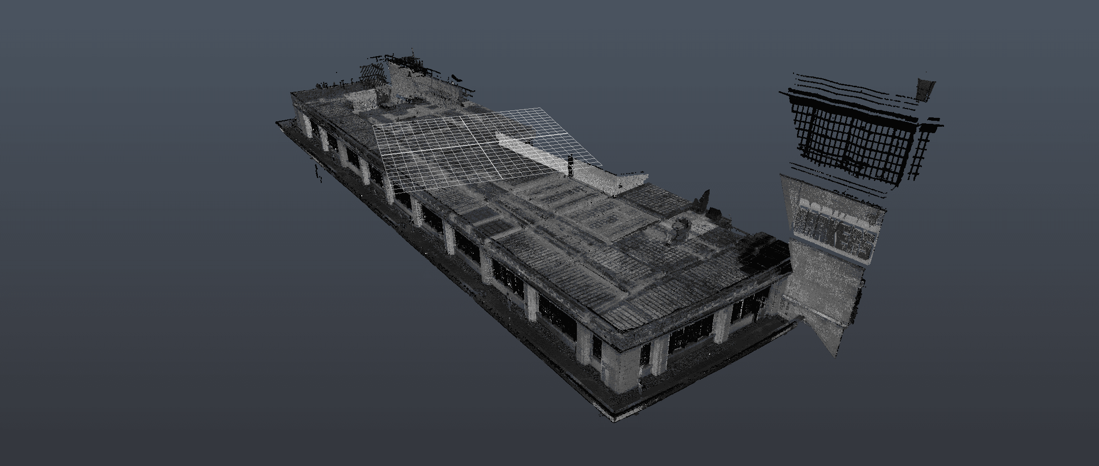
Buildings & 3D modelling
Kensington, London · Height-access designer
Zarafa already held an RCS scan of Barkers of Kensington but needed geometry it could use in its design software.
Method
Client scan to CAD
Files
STEP · SolidWorks
Drone & LiDAR surveys
Woodhall Spa, Lincolnshire · Golf course designer
Pureplay Golf needed the shape of the ground at the Bracken and Hotchkin courses at Woodhall Spa for course design and digital modelling.
Method
Aerial roof survey
Files
DWG · PDF · LAZ · E57
Drone & LiDAR surveys
Llandarcy, Neath Port Talbot · Developer
Revantage needed current ground levels and site features at Coed Darcy / Llandarcy.
Method
Drone LiDAR topographical
Files
DWG · PDF · CSV · Orthomosaic
Drone & LiDAR surveys
Mirfield, West Yorkshire · Rail contractor
BAM Nuttall’s engineers needed to continue design work and project checks at Mirfield during the working week.
Method
Rail corridor model
Files
DWG · Orthomosaic · Hosted 3D model
Land & topographic surveys
Torfaen, South Wales · Housing association and engineers
Curtins needed to understand the riverbank beside Pleasant Court housing for a stabilisation assessment on behalf of Bron Afon.
Method
Riverbank survey
Files
IFC · DWG · PDF · LAZ
Land & topographic surveys
Ashbourne, Derbyshire · Residents’ group
Windsor Close Action Group needed measured terrain and road information at Manor Road, Ashbourne.
Method
Terrain and highway survey
Files
DWG · DXF · PDF · LAS
Land & topographic surveys
Manchester · Developer
Step Places needed additional levels and terrain information at Ryebank Fields to fill gaps in an earlier site record.
Method
Topographical infill survey
Files
DWG · PDF · 4K video
Land & topographic surveys
Arboricultural consultant
Wright Landscape and Arboriculture needed a practical starting point for inspecting trees at the Innovation Centre woodland.
Method
Woodland laser scan
Files
DWG · DXF · PDF
Buildings & 3D modelling
Holborn, London · Event production company
Farago Projects needed to plan an event inside Lincoln’s Inn Undercroft.
Method
Laser scan to CAD
Files
DWG · PDF · E57 · RCP
Buildings & 3D modelling
Trafford Centre, Greater Manchester · Height-access designer
Zarafa needed the Trafford Centre dome and adjoining façade geometry to develop an access system.
Method
Photogrammetry to CAD
Files
STEP
Buildings & 3D modelling
Architects
Building Link Design needed the terrain, drainage levels and existing buildings at Kingswood Golf Course in a model its architect could use for design.
Method
Site model for Revit
Files
Revit · IFC · PDF
Buildings & 3D modelling
Kensington, London · Height-access designer
Zarafa already held an RCS scan of Barkers of Kensington but needed geometry it could use in its design software.
Method
Client scan to CAD
Files
STEP · SolidWorks
Roof & infrastructure inspections
Bolton, Greater Manchester · Architects
Baily Garner’s design team needed the existing roof geometry and levels at Bolton Museum and Central Library for a redesign.
Method
Aerial roof survey
Files
DWG · PDF · LAZ · E57
Roof & infrastructure inspections
Multiple UK sites · Cost consultant for a student-housing operator
Cumming Group needed a consistent visual roof record across the Unite Students property programme.
Method
Roof-inspection programme
Files
Roof & infrastructure inspections
Castleford, West Yorkshire · Engineering consultancy
Clancy Consulting needed an overall visual record of Castleford Viaduct and closer references for inspection discussions.
Method
Structure inspection model
Files
Orthomosaic · Hosted 3D model
Roof & infrastructure inspections
Inspection services provider
CWC360 needed to identify areas at Thorntons Park where gutter cleaning required attention.
Method
Roof and gutter inspection
Files
Roof & infrastructure inspections
Yorkshire · Building surveyors
Newmark’s building surveyors needed roof views they could not obtain during their own inspections of Yorkshire bus stations.
Method
Roof photography
Files
PDF · DNG · 4K video
Roof & infrastructure inspections
Birmingham · Cost consultant
Cumming Group needed roof reports for five Aston Student Village buildings in Birmingham.
Method
Roof reports
Files
Roof & infrastructure inspections
Copgrove, North Yorkshire · Building surveyors
Newmark needed roof photographs of two marked units at Jubilee Court, Copgrove, for a property review.
Method
Roof photography
Files
PDF · JPEG
Related expertise
Methods, deliverables and pricing for each surveying service.