
A topographical survey is a detailed and accurate representation of a piece of land, capturing all natural and man-made features within the surveyed area. It is essential for planning, design, and construction, providing vital data for any development or land management project. In this guide, we will explain what a topographical survey is, what it includes, how it works, and why it is critical for your project.
What is a Topographical Survey?
A topographical survey is a type of land survey that provides a detailed mapping of a site’s natural and man-made features. It measures the elevation, boundaries, and levels of the land, creating an accurate depiction of the site. This survey includes both physical features, such as trees, roads, and buildings, and man-made features, such as fences and drainage systems.
Utility land and mapping involve identifying, surveying, and managing land for utilities like water, gas, and electricity, ensuring efficient planning and development.
A topographical survey helps architects, engineers, and contractors understand the layout and terrain of the land, ensuring that informed decisions can be made during the design and construction stages of a project.

What Does a Topographical Survey Include?
In a topographical survey, various site features are measured, recorded, and mapped. Here’s what is typically included in a topographical survey:
1. Natural Features
- Hills and valleys
- Rivers, streams, and lakes
- Forests and vegetation
2. Man-Made Features
- Buildings and other structures
- Roads, bridges, and drainage ditches
- Fences, paths, and walkways
3. Boundaries
- Site boundaries
- Adjoining buildings
- Service cover positions (e.g., manholes, drainage systems)
4. Levels and Elevation
- Spot levels and site levels
- Elevation changes across the land
5. Other Features
- Trees, bushes, and hedges
- Flowerbeds and kerblines
- Walkways and hardstanding
How Does a Topographical Survey Work?
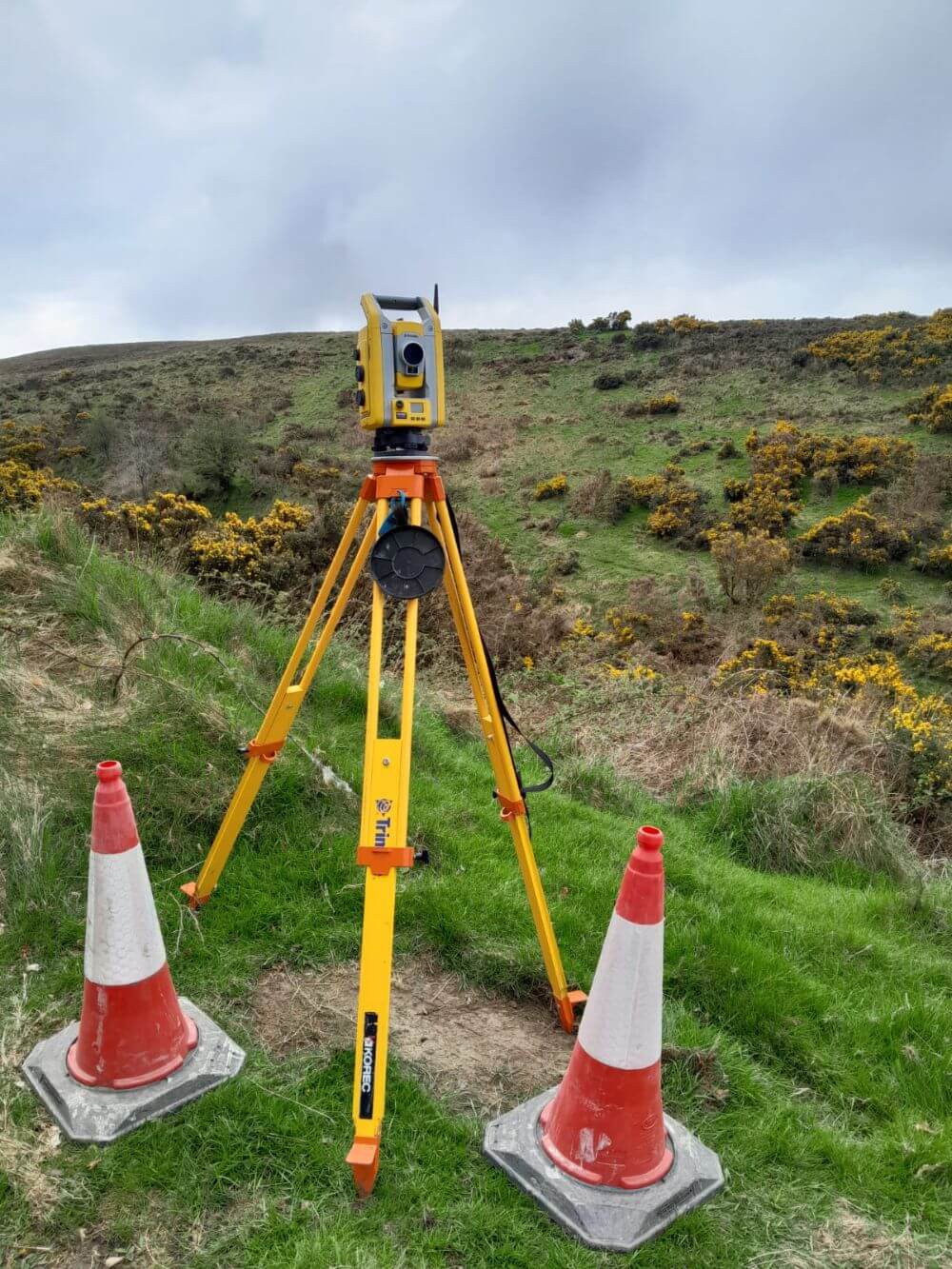
A topographical survey involves using various specialised surveying equipment to capture accurate data about a site’s features. Here’s how the process typically works:
- Site Visit: The surveyor visits the site to assess the land and identify the features that need to be included in the survey.
- Data Collection: The surveyor uses modern equipment, such as total stations, GPS systems, and drones, to collect precise measurements. This data is gathered in the form of 3D models, contour maps, and spot heights.
- Data Analysis: Once the data is collected, it is processed to create an accurate topographical map or digital file. This map represents all the land features, boundaries, and elevations in great detail.
- Reporting: The final output of a topographical survey is usually delivered as a CAD drawing or AutoCAD file that can be used in design and construction planning. The report provides precise information that guides development and planning decisions.
When is a Topographical Survey Needed?
A topographical survey is essential during the early stages of a project. It is typically required when planning, designing, and constructing buildings, infrastructure, or landscapes. Here’s when you might need a topographical survey:
1. Development and Construction Projects
When designing a new building, road, or infrastructure, a topographical survey provides essential data about the land’s layout, helping to guide decisions on grading, drainage, and construction.
2. Land Use and Planning
Before making changes to land use, whether residential, commercial, or agricultural, a topographical survey is required for planning permission and feasibility studies.
3. Boundary Disputes and Land Ownership
If you need to settle a boundary dispute or confirm land ownership, a topographical survey provides clear, accurate data about the site’s limits.
What is Topographical Survey?
Topographical surveys are essential for various professionals involved in land development, property management, and construction projects:
- Architects: Use the survey data to create designs and understand the site’s layout.
- Engineers: Rely on the data to assess site suitability for development and infrastructure.
- Contractors: Use the survey to plan excavation, grading, and construction processes.
- Property Developers: Need the survey to make informed decisions on land use and project planning.
What Are the Benefits of a Topographical Survey?
A topographical survey offers numerous benefits for those involved in land development and construction projects. Some of the key advantages include:
- Accurate Site Information: A topographical survey offers precise data about a site’s natural and man-made features, aiding in proper planning and design.
- Informed Decision-Making: The survey data helps architects, engineers, and contractors make decisions based on real-world conditions, reducing the risk of mistakes during construction.
- Cost and Time Efficiency: By identifying potential issues early in the planning process, a topographical survey helps prevent costly delays and changes during construction.
- Compliance: A topographical survey is often required for planning permission and regulatory compliance, ensuring your project meets all legal and environmental requirements.
- Improved Design and Planning: The detailed data helps with accurate designs for drainage, foundation work, and other infrastructure components.
Topographical Survey Using Drones
At Sky Scan Surveys, we specialise in topographical surveys using cutting-edge drone technology. Drones offer several benefits over traditional survey methods, making them the ideal choice for topographical surveys:
- Speed: Drones cover large areas quickly, reducing survey time significantly.
- Accuracy: Equipped with advanced sensors, drones collect high-resolution data, ensuring precise measurements and mapping.
- Access: Drones can easily reach difficult areas, such as steep slopes, water bodies, and dense vegetation.
- Cost-Effective: By reducing survey time and labour, drones provide a cost-effective solution for topographical surveys.
Contact Sky Scan Surveys for Your Topographical Survey
If you’re planning a construction project, land development, or simply need to understand the topography of a site, a topographical survey from Sky Scan Surveys is the solution. Our team of experts uses the latest drone and surveying technology to provide accurate, high-quality survey data that will guide your project to success.
Contact us today for a free quote or to discuss your topographical survey needs.