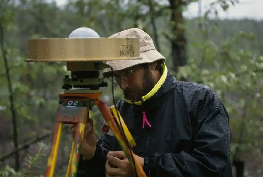
For surveying professionals across the UK, the challenges of traditional methods are often all too familiar. Whether it’s the time-consuming nature of traversing complex terrain, the frustration of line-of-sight limitations in densely vegetated areas, or the inherent safety risks of accessing hazardous sites, these obstacles can significantly impact project timelines, accuracy, and even the well-being of your team.
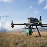
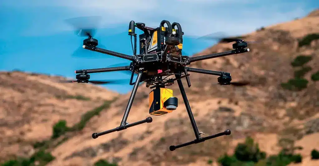
At Sky Scan Surveys, we understand these pain points intimately. That’s why we’ve harnessed the cutting-edge power of LiDAR drone surveying to provide a solution that transcends these traditional limitations, offering a more efficient, safer, and ultimately more comprehensive approach to data acquisition across the UK.
The Surveyor’s Struggle: Breaking Free from Traditional Constraints
Consider the common scenarios:- Dense Vegetation: How many times have you struggled to obtain accurate ground measurements beneath tree canopies or thick undergrowth? Traditional methods often require extensive clearing or result in interpolated, less reliable data.
- Complex Terrain: Steep slopes, uneven ground, and inaccessible areas not only slow down surveys but also pose significant safety risks to your team.
- Time Constraints: Large-scale projects demand rapid data acquisition, and traditional methods can be incredibly time-intensive, impacting project deadlines and budgets.
- Limited Data Density: Traditional point measurements may miss crucial details, leading to less comprehensive terrain models and potentially impacting design and planning accuracy.
The Sky Scan Surveys Solution: LiDAR Drones – Your Eyes Above, Seeing Below
LiDAR drone surveying, as offered by Sky Scan Surveys, directly addresses these challenges by providing a revolutionary approach to data collection:
Penetrating Vegetation for True Ground Models
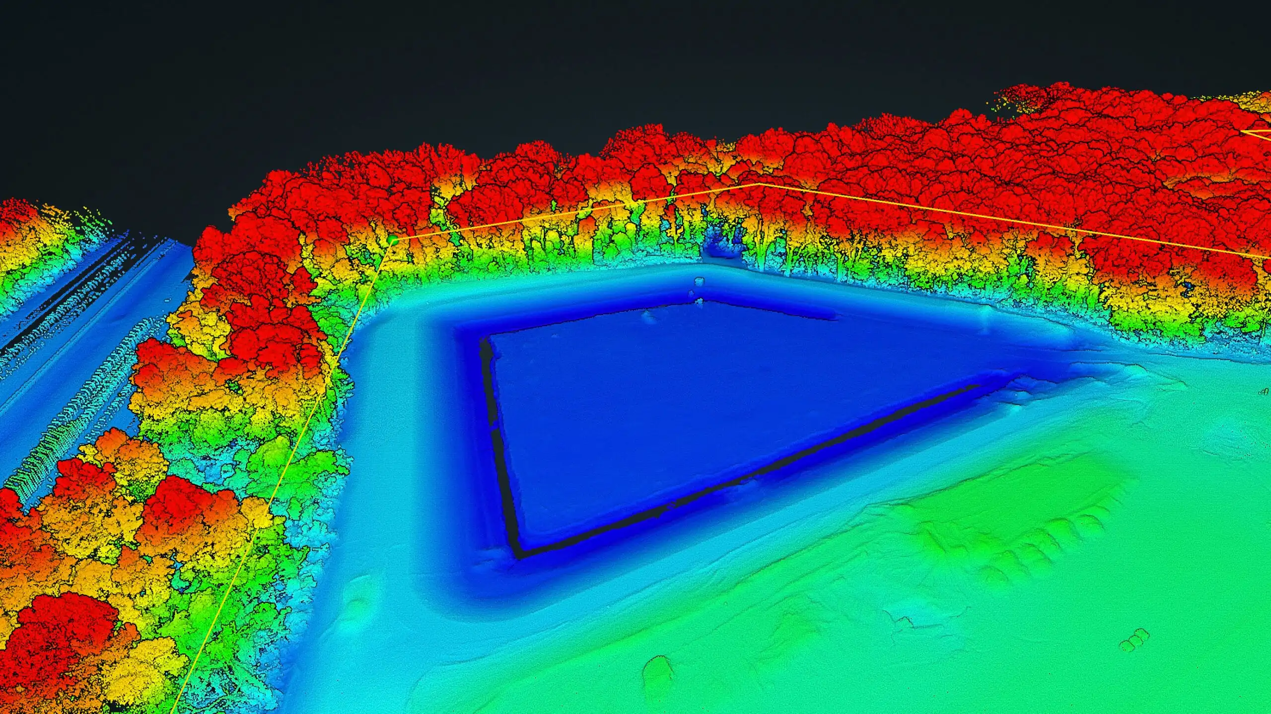
- Unlike photogrammetry, our LiDAR-equipped drones emit laser pulses that can penetrate dense vegetation, capturing the true ground surface beneath. This eliminates the guesswork and provides highly accurate Digital Terrain Models (DTMs) even in the most challenging environments across the UK.
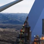
Safe and Efficient Data Acquisition in Complex Terrain
- Our drones can safely and efficiently survey hazardous or inaccessible areas, collecting data without putting your team at risk. This not only improves safety but also allows for comprehensive data capture in previously challenging locations.
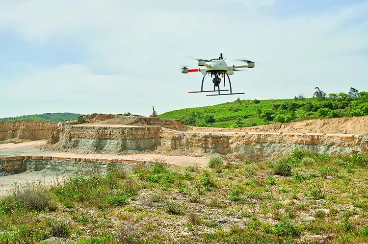
Rapid Data Collection for Large-Scale Projects
- LiDAR drones can cover vast areas in significantly less time than traditional ground-based methods, allowing for faster project completion and quicker turnaround times for your clients.
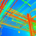
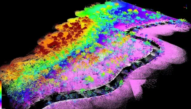
High-Density Point Clouds for Unparalleled Detail
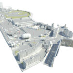
- Our LiDAR systems capture millions of data points per second, creating incredibly dense point clouds that provide a highly detailed and accurate representation of the surveyed environment. This rich dataset allows for the creation of precise 3D models, contour lines, and other valuable deliverables.
Elevating Your Surveying Practice with Sky Scan Surveys’ LiDAR Expertise
By partnering with Sky Scan Surveys for your LiDAR drone surveying needs across the UK, you can:
- Enhance Accuracy: Deliver more precise and reliable data to your clients, leading to better design, planning, and decision-making.
- Increase Efficiency: Reduce fieldwork time and labour costs, improving your project timelines and profitability.
- Improve Safety: Eliminate the need for personnel to access hazardous areas, ensuring the well-being of your team.
- Expand Your Capabilities: Offer a wider range of services, including surveys in previously inaccessible or challenging environments.
- Stay Ahead of the Curve: Embrace cutting-edge technology and position your practice as an innovator in the surveying industry.
Ready to overcome the limitations of traditional surveying?
Contact Sky Scan Surveys today to discuss how our LiDAR drone surveying services can revolutionise your workflow and provide you with the comprehensive, accurate data you need for your UK-based projects.